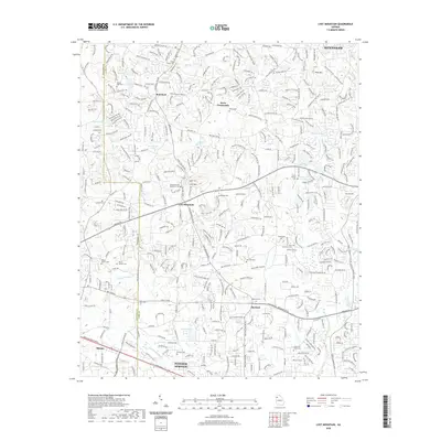
2020 Map of Lost Mountain
USGS Topo · Published 2020About this map
Lost Mountain stands as a central topographic and cultural anchor in this portion of Cobb County, where the transition from rural land use to suburban development is evident. The landscape is dotted with numerous historical burial grounds, such as Shipp-Old Lost Mountain Cem and Midway Cem, which reflect the long-standing community roots in the area. Transportation corridors like the C H James Pkwy and Stout Pkwy define the modern movement through these older settlements. The proximity of Powder Springs and Macland indicates a region of steady residential growth, yet the naming of landmarks like Pine Mtn and various local creeks such as Allatoona Cr and Noses Cr maintains a connection to the original terrain. Significant local infrastructure is noted through markers like McEachern School Rd, signifying the area's development around established educational and social hubs.
Find a feature on this map
53 named features on this map. Tap any name to fly to it.
Don’t see what you’re looking for? This feature index may not catch every label — zoom into the map to look around manually.
Map Details
Editions of this 2020 Lost Mountain Map
This is the sole edition of this map. No revisions or reprints were ever made.
Other maps of this area

1890 · Cartersville
USGS Topo · 1:125,000

1891 · Marietta
USGS Topo · 1:125,000

1891 · Cartersville
USGS Topo · 1:125,000

1895 · Marietta
USGS Topo · 1:125,000

1896 · Cartersville
USGS Topo · 1:125,000

1897 · Marietta
USGS Topo · 1:125,000

1901 · Marietta
USGS Topo · 1:125,000

1906 · Stilesboro
USGS Topo · 1:62,500

1907 · Acworth
USGS Topo · 1:62,500

1908 · Stilesboro
USGS Topo · 1:62,500