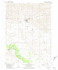
1980 Map of Lost Nation
USGS Topo · Published 1981About this map
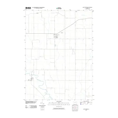
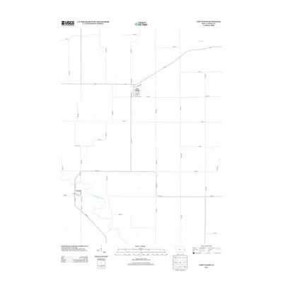
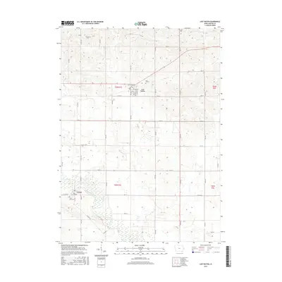
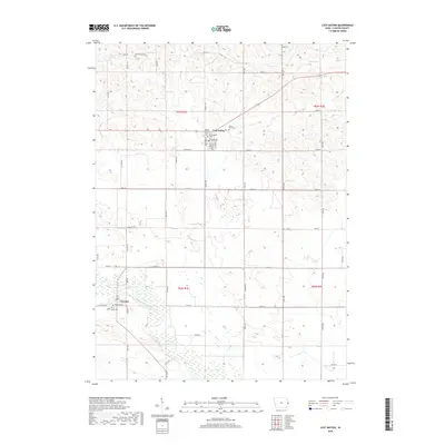
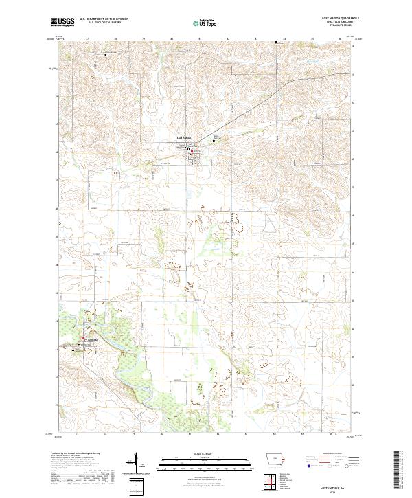
Lost Nation stands at the center of this Clinton County landscape, where the Chicago Milwaukee ST Paul And Pacific railway once defined the town's connection to the broader region. To the south, the Wapsipinicon River meanders through agricultural bottomlands, bordered by the settlement of Toronto and the recreational space of Walnut Grove County Park. This 1980 record illustrates the enduring rural infrastructure of eastern Iowa, showing several small family and parish burial grounds such as Sacred Heart Cem and Busch Cem. Local history is deeply etched into the topography here, from the religious hub at Smithtown Ch to the industrial remnants of an Old Railroad Grade. The map also details early land divisions across the townships of Sharon, Brookfield, Liberty, and Grant, reflecting the established grid of 20th-century Midwestern farming life.
Find a feature on this map
22 named features on this map. Tap any name to fly to it.
Don’t see what you’re looking for? This feature index may not catch every label — zoom into the map to look around manually.
Map Details
Editions of this 1980 Lost Nation Map
This is the sole edition of this map. No revisions or reprints were ever made.
Historical Maps of Lost Nation Through Time
6 maps found