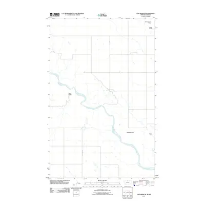
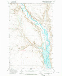
2011 Map of Lost River NE
USGS Topo · Published 2011About this map
The Milk River meanders across this northern Montana landscape, providing a vital water source in the arid ranching country of Hill County. The topography is defined by the sharp descent of Spring Coulee and the elevated vantage of Spring Coulee Ridge near the northern boundary. Man-made infrastructure is sparse, concentrated primarily on water management and transportation, as seen at the Keeling Dam and the path of County Hwy 449. The presence of Rattlesnake Butte stands as a prominent natural landmark in a region where subtle changes in elevation dictate the flow of seasonal runoff and the boundaries of vast grazing lands.
Find a feature on this map
6 named features on this map. Tap any name to fly to it.
Don’t see what you’re looking for? This feature index may not catch every label — zoom into the map to look around manually.
Map Details
Editions of this 2011 Lost River NE Map
This is the sole edition of this map. No revisions or reprints were ever made.
Other maps of this area

1920 · Gildford
USGS Topo · 1:125,000

1943 · Gildford
USGS Topo · 1:125,000

1954 · Shelby
USGS Topo · 1:250,000

1958 · Shelby
USGS Topo · 1:250,000
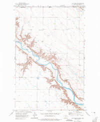
1972 · Lost River NE
USGS Topo · 1:24,000

1972 · Mc Kinnsey Reservoir East
USGS Topo · 1:24,000
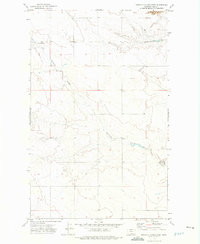
1972 · Ninemile Coulee West
USGS Topo · 1:24,000
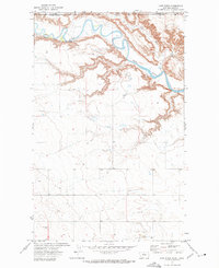
1972 · Lost River
USGS Topo · 1:24,000
1972 · Ninemile Coulee East
USGS Topo · 1:24,000
1984 · Chester
USGS Topo · 1:100,000