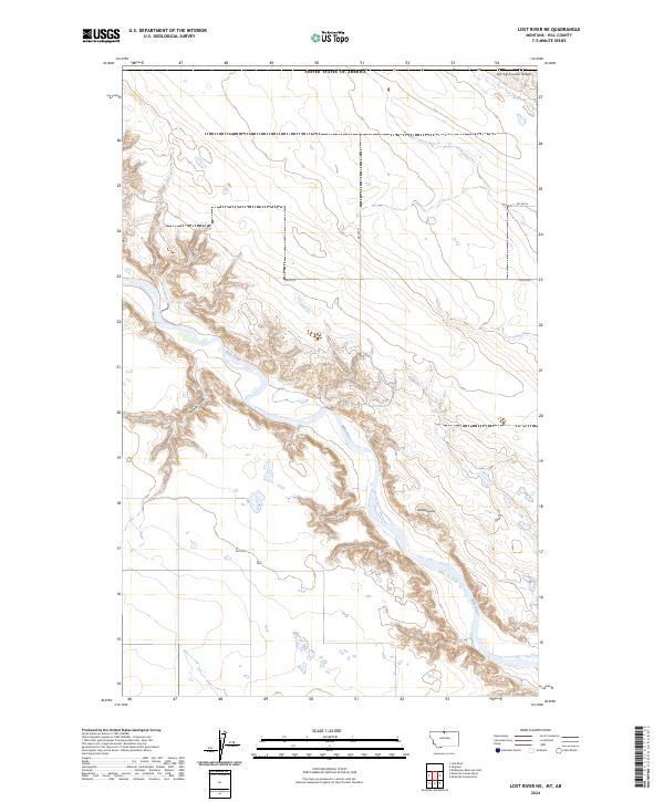
2024 Map of Lost River NE
USGS Topo · Published 2024About this map
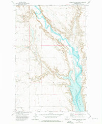
The Milk River carves a deep, winding path through this northern Montana landscape, creating a complex series of coulees and breaks within Hill County. This modern survey illustrates the sharp topographical contrast between the flat high plains and the intricate erosion patterns of the river valley, where landforms like Spring Coulee and Rattlesnake Butte provide distinct navigational markers. The upland areas are defined by a rigid grid of rural routes, including Rd 280 N and Rd 270 N, which follow the township and range lines of t37n r11e and surrounding sections. To the north, the elevation rises toward Spring Coulee Ridge, marking the drainage divide in this arid corridor. The map effectively documents the intersection of natural hydrology and the rectilinear human ordering of the West, showing how roads must occasionally deviate from their straight paths to negotiate the river's rugged descent.
Find a feature on this map
13 named features on this map. Tap any name to fly to it.
Don’t see what you’re looking for? This feature index may not catch every label — zoom into the map to look around manually.
Map Details
Editions of this 2024 Lost River NE Map
This is the sole edition of this map. No revisions or reprints were ever made.
Other maps of this area

1920 · Gildford
USGS Topo · 1:125,000

1943 · Gildford
USGS Topo · 1:125,000

1954 · Shelby
USGS Topo · 1:250,000

1958 · Shelby
USGS Topo · 1:250,000
1972 · Lost River NE
USGS Topo · 1:24,000

1972 · Mc Kinnsey Reservoir East
USGS Topo · 1:24,000
1972 · Ninemile Coulee West
USGS Topo · 1:24,000
1972 · Lost River
USGS Topo · 1:24,000
1972 · Ninemile Coulee East
USGS Topo · 1:24,000
1984 · Chester
USGS Topo · 1:100,000