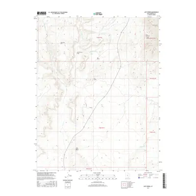
2017 Map of Lost Spring
USGS Topo · Published 2017About this map
Mt Ellsworth stands as a prominent landmark in the Little Rockies range at the eastern edge of this 2017 survey. The landscape is defined by the high desert terrain of the Henry Mountains and the arid expanse of the Cane Spring Desert. A complex network of drainages, including Shitamaring Cr, Hansen Cr, and the Smith Fork, carves through the sandstone formations. Evidence of water management in this dry environment is visible at the Lost Spring Reservoir and the original Lost Spring. The local infrastructure near Ticaboo is represented by Ticaboo Rd and residential corridors like Lake Dr and Plateau Dr. Distinctive geological features such as Shootaring Point and the Ant Knolls provide clear navigational markers across the township and range lines of the southern Utah backcountry.
Find a feature on this map
23 named features on this map. Tap any name to fly to it.
Don’t see what you’re looking for? This feature index may not catch every label — zoom into the map to look around manually.
Map Details
Editions of this 2017 Lost Spring Map
This is the sole edition of this map. No revisions or reprints were ever made.
Other maps of this area

1886 · Henry Mountains
USGS Topo · 1:250,000

1892 · Henry Mountains
USGS Topo · 1:250,000

1952 · Mt Pennell 1 SW
USGS Topo · 1:24,000

1952 · Mt Hillers
USGS Topo · 1:62,500

1952 · Mt Pennell 1 SE
USGS Topo · 1:24,000

1953 · Mt Pennell
USGS Topo · 1:62,500

1953 · Mt Pennell 2 SE
USGS Topo · 1:24,000

1953 · Mt Pennell 4 NE
USGS Topo · 1:24,000

1953 · Mt. Ellsworth
USGS Topo · 1:62,500

1953 · Hall Mesa
USGS Topo · 1:62,500