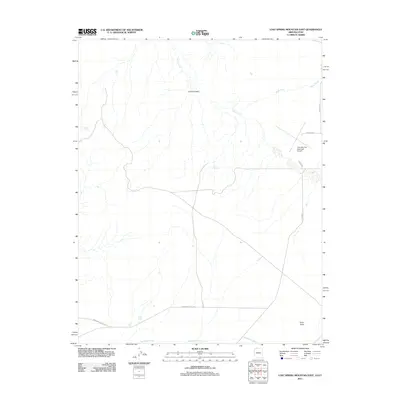
2011 Map of Lost Spring Mountain East
USGS Topo · Published 2011About this map
Colorado City Municipal Airport serves as a modern focal point in this 2011 depiction of the Arizona-Utah border region. The landscape is defined by its arid drainage patterns, with Sandridge Wash and Short Creek cutting through the terrain, while reliable water sources like Lost Spring and Wells Spring provide historical points of reference for the high desert. The transportation network is anchored by Co Hwy 5 and the evocatively named Honeymoon Trail Rd, reflecting the long-standing routes used by travelers and settlers in Mohave County. Topographical landmarks such as Point Rock and the depression of Corral Canyon stand out against the surveyed grid, illustrating the natural obstacles that shaped local road development like Redwood St and Airport Ave. This survey documents a quiet intersection of aviation infrastructure and traditional desert pathways at the start of the 21st century.
Find a feature on this map
13 named features on this map. Tap any name to fly to it.
Don’t see what you’re looking for? This feature index may not catch every label — zoom into the map to look around manually.
Map Details
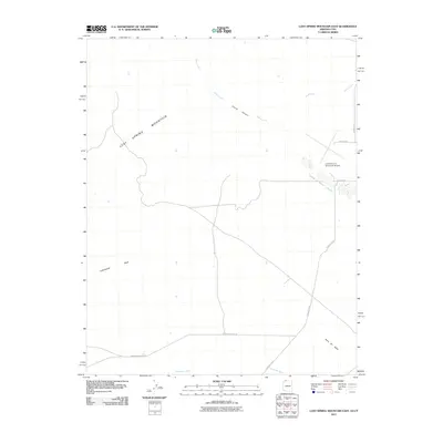
Editions of this 2011 Lost Spring Mountain East Map
2 editions found
Other maps of this area

1885 · St. George
USGS Topo · 1:250,000

1886 · Kanab
USGS Topo · 1:250,000

1886 · Mt. Trumbull
USGS Topo · 1:250,000

1886 · Kaibab
USGS Topo · 1:250,000

1891 · St. George
USGS Topo · 1:250,000

1892 · Mt. Trumbull
USGS Topo · 1:250,000

1953 · Cedar City
USGS Topo · 1:250,000

1953 · Grand Canyon
USGS Topo · 1:250,000

1954 · La Verkin 4 SE
USGS Topo · 1:24,000

1954 · La Verkin 4 SW
USGS Topo · 1:24,000