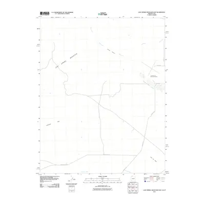
2011 Map of Lost Spring Mountain East
USGS Topo · Published 2011About this map
Lost Spring Mountain dominates the western portion of this Arizona-Utah border region, giving way to the high desert plains and drainage systems of the northeast. This 2011 survey illustrates the modern transportation infrastructure serving the northern reaches of Mohave County, including the layout of the Colorado City Municipal Airport and its connecting roads like Airport Ave and Redwood St. The terrain is defined by seasonal watercourses such as Short Creek and Cottonwood Wash, which carve through the landscape alongside notable geological markers like Point Of Rock. Of particular interest to local historians is the alignment of Honeymoon Trail Rd, a modern thoroughfare named for the historic route used by Mormon settlers traveling between northern Arizona and Utah.
Find a feature on this map
12 named features on this map. Tap any name to fly to it.
Don’t see what you’re looking for? This feature index may not catch every label — zoom into the map to look around manually.
Map Details
Editions of this 2011 Lost Spring Mountain East Map
2 editions found
Other maps of this area

1885 · St. George
USGS Topo · 1:250,000

1886 · Kanab
USGS Topo · 1:250,000

1886 · Mt. Trumbull
USGS Topo · 1:250,000

1886 · Kaibab
USGS Topo · 1:250,000

1891 · St. George
USGS Topo · 1:250,000

1892 · Mt. Trumbull
USGS Topo · 1:250,000

1953 · Cedar City
USGS Topo · 1:250,000

1953 · Grand Canyon
USGS Topo · 1:250,000

1954 · La Verkin 4 SE
USGS Topo · 1:24,000

1954 · La Verkin 4 SW
USGS Topo · 1:24,000