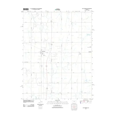
2012 Map of Lost Springs
USGS Topo · Published 2012About this map
Lost Springs serves as the central hub of this agricultural landscape in Marion County, where a network of section-line roads like Wagonwheel Rd and Vista Rd crisscross the plains. The area is defined by its deep community roots, evidenced by several scattered burial grounds including the Swedish Mission Cem and Hebron Lutheran Church Cem. These sites, along with the Burdick United Methodist Cem at the eastern edge, highlight the diverse denominational history of the early settlers who worked this land.
Find a feature on this map
50 named features on this map. Tap any name to fly to it.
Don’t see what you’re looking for? This feature index may not catch every label — zoom into the map to look around manually.
Map Details
Editions of this 2012 Lost Springs Map
This is the sole edition of this map. No revisions or reprints were ever made.
Other maps of this area

1889 · Newton
USGS Topo · 1:125,000

1889 · Abilene
USGS Topo · 1:125,000

1889 · Parkerville
USGS Topo · 1:125,000

1894 · Newton
USGS Topo · 1:125,000

1894 · Abilene
USGS Topo · 1:125,000

1894 · Parkerville
USGS Topo · 1:125,000

1898 · Cottonwood Falls
USGS Topo · 1:125,000

1955 · Hutchinson
USGS Topo · 1:250,000

1959 · Hutchinson
USGS Topo · 1:250,000

1964 · Ramona
USGS Topo · 1:24,000