2022 Map of Lost Springs
USGS Topo · Published 2022About this map
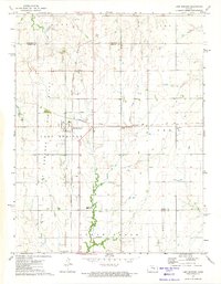
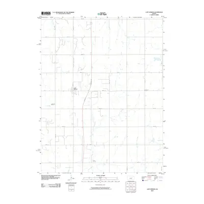
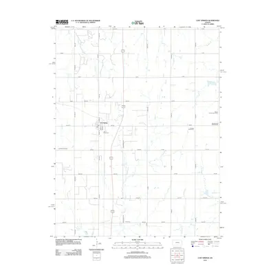
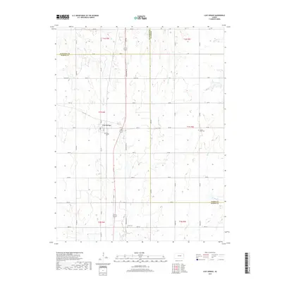
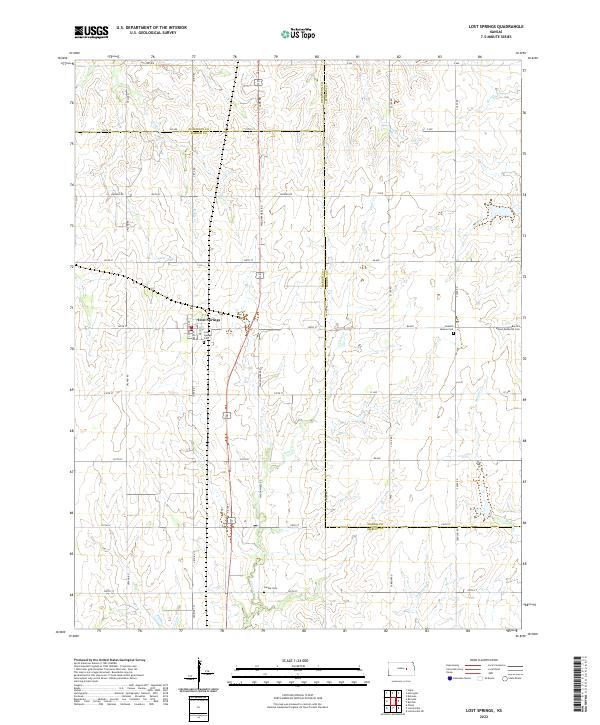
Lost Springs serves as the primary settlement on this portion of the Kansas plains, situated at the intersection of Marion, Dickinson, and Morris counties. The landscape is defined by the drainage patterns of Lyon Creek and its various tributaries, including Clear Creek and Kohls Creek, which carve gentle valleys through the sectioned agricultural land. The map reveals a high density of rural burial sites for such a localized area, including the Lost Springs Cemetery, Swedish Mission Cemetery, Hartke Cemetery, and the United Methodist Cemetery. These features, along with the meticulously surveyed township lines like T17S R4E and T17S R5E, document the enduring civil and religious organization of the rural community. The road network follows a rigid grid of avenues and roads, such as Wagonwheel Road and Trail Road, facilitating transport between the scattered farmsteads and the central village of Lost Springs.
Find a feature on this map
56 named features on this map. Tap any name to fly to it.
Don’t see what you’re looking for? This feature index may not catch every label — zoom into the map to look around manually.
Map Details
Editions of this 2022 Lost Springs Map
This is the sole edition of this map. No revisions or reprints were ever made.
Historical Maps of Lost Springs Through Time
6 maps found