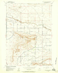
1958 Map of Lost Wells Butte
USGS Topo · Published 1959About this map
Lost Wells Butte rises as a prominent landmark over the Missouri Valley in this late 1950s depiction of Fremont County. The landscape is defined by the extensive irrigation and drainage engineering of the Riverton Reclamation Withdrawal Area, a project managed by the Bureau of Reclamation to transform this arid region into productive farmland. A network of waterways including the Pilot Canal, Fivemile Drain, and the Lost Wells Lateral crisscrosses the valley floor, supporting a growing agricultural community. Local life is anchored by social and religious landmarks like the Union Church and the Paradise Valley Community House. The presence of several Gravel Pits and the established route of the Missouri Valley Road further indicate the infrastructure development following the initial mid-century surveys.
Find a feature on this map
18 named features on this map. Tap any name to fly to it.
Don’t see what you’re looking for? This feature index may not catch every label — zoom into the map to look around manually.
Map Details
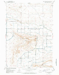
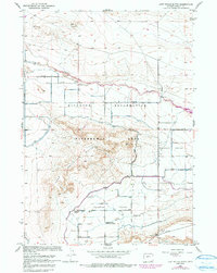
Editions of this 1958 Lost Wells Butte Map
3 editions found
Other maps of this area

1950 · Riverton East
USGS Topo · 1:24,000

1950 · Harris Bridge
USGS Topo · 1:24,000

1950 · Mexican Pass SW
USGS Topo · 1:24,000

1950 · Ocean Lake
USGS Topo · 1:24,000

1951 · Mexican Pass SE
USGS Topo · 1:24,000

1951 · Pavillion SE
USGS Topo · 1:24,000

1951 · Riverton West
USGS Topo · 1:24,000

1952 · Riverton NE
USGS Topo · 1:24,000

1952 · Lost Wells Butte
USGS Topo · 1:24,000

1955 · Thermopolis
USGS Topo · 1:250,000