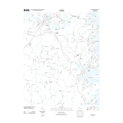
2013 Map of Loudon
USGS Topo · Published 2013About this map
Watts Bar Lake and the Tennessee River define the northern reaches of this landscape, where the Loudon Bridge connects the established town of Loudon to Carmichael Island and the rural hills beyond. The area's agricultural and industrial roots are visible in settlements like Eve Mills, Robinson Mill, and Burton Mill, which trace the path of local waterways. Higher elevations such as Poplar Springs Ridge and High Top overlook the eastern expanses of Tellico Lake, where modern residential patterns began to emerge along its shorelines.
Find a feature on this map
59 named features on this map. Tap any name to fly to it.
Don’t see what you’re looking for? This feature index may not catch every label — zoom into the map to look around manually.
Map Details
Editions of this 2013 Loudon Map
This is the sole edition of this map. No revisions or reprints were ever made.
Other maps of this area

1895 · Loudon
USGS Topo · 1:125,000

1935 · Meadow
USGS Topo · 1:24,000

1935 · Lenoir City
USGS Topo · 1:24,000

1935 · Philadelphia
USGS Topo · 1:24,000
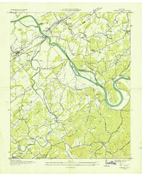
1935 · Vonore
USGS Topo · 1:24,000

1936 · Cave Creek
USGS Topo · 1:24,000
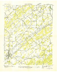
1936 · Madisonville
USGS Topo · 1:24,000
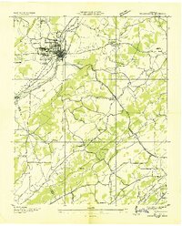
1936 · Sweetwater
USGS Topo · 1:24,000

1936 · Friendship
USGS Topo · 1:48,000

1936 · Loudon
USGS Topo · 1:24,000