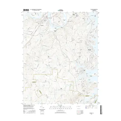
2016 Map of Loudon
USGS Topo · Published 2016About this map
Loudon and the surrounding river bends of the Tennessee Valley are meticulously detailed in this survey, showcasing a landscape defined by the winding waters of Watts Bar Lake and Tellico Lake. The town of Loudon sits at a strategic point near Huff Ferry Bend, where the historic river-based economy has transitioned into a complex network of residential developments and protected lands. Further east, the planned community of Tellico Village lines the shores, its street names like Chicksaw Ln and Tuscarora Ln reflecting the area's deep heritage.
Find a feature on this map
201 named features on this map. Tap any name to fly to it.
Don’t see what you’re looking for? This feature index may not catch every label — zoom into the map to look around manually.
Map Details
Editions of this 2016 Loudon Map
This is the sole edition of this map. No revisions or reprints were ever made.
Other maps of this area

1895 · Loudon
USGS Topo · 1:125,000

1935 · Meadow
USGS Topo · 1:24,000

1935 · Lenoir City
USGS Topo · 1:24,000

1935 · Philadelphia
USGS Topo · 1:24,000
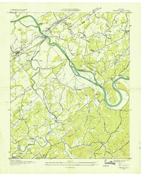
1935 · Vonore
USGS Topo · 1:24,000

1936 · Cave Creek
USGS Topo · 1:24,000
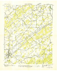
1936 · Madisonville
USGS Topo · 1:24,000
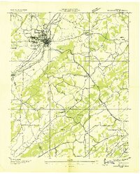
1936 · Sweetwater
USGS Topo · 1:24,000

1936 · Friendship
USGS Topo · 1:48,000

1936 · Loudon
USGS Topo · 1:24,000