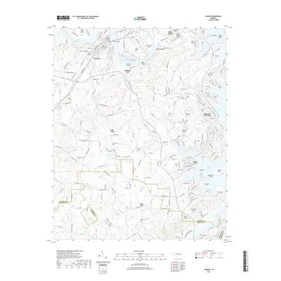
2019 Map of Loudon
USGS Topo · Published 2019About this map
Loudon serves as a prominent river hub where the Norfolk Southern railroad crosses the Tennessee River near Huff Ferry Bend. The landscape is defined by the expansive waters of Watts Bar Lake and Tellico Lake, which surround significant landforms like Carmichael Island and Blair Bend. The settlement pattern reflects a mix of established town life and rural history, with smaller nodes such as Robinson Mill, Burton Mill, and Eve Mills situated along tributaries like Steekee Creek and Fork Creek.
Find a feature on this map
215 named features on this map. Tap any name to fly to it.
Don’t see what you’re looking for? This feature index may not catch every label — zoom into the map to look around manually.
Map Details
Editions of this 2019 Loudon Map
This is the sole edition of this map. No revisions or reprints were ever made.
Other maps of this area

1895 · Loudon
USGS Topo · 1:125,000

1935 · Meadow
USGS Topo · 1:24,000

1935 · Lenoir City
USGS Topo · 1:24,000

1935 · Philadelphia
USGS Topo · 1:24,000
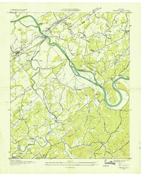
1935 · Vonore
USGS Topo · 1:24,000

1936 · Cave Creek
USGS Topo · 1:24,000
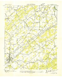
1936 · Madisonville
USGS Topo · 1:24,000
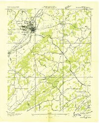
1936 · Sweetwater
USGS Topo · 1:24,000

1936 · Friendship
USGS Topo · 1:48,000

1936 · Loudon
USGS Topo · 1:24,000