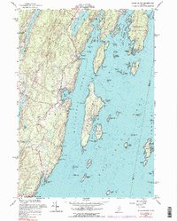
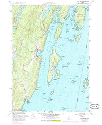
1955 Map of Louds Island
USGS Topo · Published 1985About this map
Muscongus Sound and the intricate coastline of Pemaquid Neck define this mid-century coastal survey. The map details the isolated community of Loudville on Louds Island, accessible only by water, alongside the mainland villages of Round Pond and New Harbor. The landscape is a mix of maritime industry and rural resilience, dotted with numerous granite quarries and Gravel Pits that suggest the local reliance on natural resources during this era.
Find a feature on this map
90 named features on this map. Tap any name to fly to it.
Don’t see what you’re looking for? This feature index may not catch every label — zoom into the map to look around manually.
Map Details
Editions of this 1955 Louds Island Map
5 editions found
Other maps of this area

1893 · Wiscasset
USGS Topo · 1:62,500

1893 · Boothbay
USGS Topo · 1:62,500

1904 · Monhegan
USGS Topo · 1:62,500

1906 · Monhegan
USGS Topo · 1:62,500

1913 · Waldoboro
USGS Topo · 1:48,000

1915 · Waldoboro
USGS Topo · 1:62,500

1941 · Waldoboro
USGS Topo · 1:62,500

1941 · Boothbay
USGS Topo · 1:62,500

1943 · Boothbay
USGS Topo · 1:62,500

1944 · Wiscasset
USGS Topo · 1:62,500