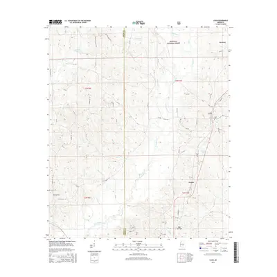
2015 Map of Louin
USGS Topo · Published 2015About this map
The Bienville National Forest covers much of the northeastern portion of this landscape, where the headwaters of W Tallahala Cr and Otak Cr begin their southward trek. Small settlements like Louin and Montrose are clustered in the east, while Sylvarena sits on the western edge of the quadrangle. The terrain is defined by a dense network of creek branches, including Little Ichusa Cr and Gammage Cr, which flow through the pine-laden hills of Smith Co and Jasper Co.
Find a feature on this map
85 named features on this map. Tap any name to fly to it.
Don’t see what you’re looking for? This feature index may not catch every label — zoom into the map to look around manually.
Map Details
Editions of this 2015 Louin Map
This is the sole edition of this map. No revisions or reprints were ever made.
Other maps of this area

1953 · Hattiesburg
USGS Topo · 1:250,000

1953 · Meridian
USGS Topo · 1:250,000

1957 · Meridian
USGS Topo · 1:250,000

1958 · Hattiesburg
USGS Topo · 1:250,000

1964 · Lake Como
USGS Topo · 1:24,000

1965 · Meridian
USGS Topo · 1:250,000

1968 · Clear Springs
USGS Topo · 1:24,000

1968 · Pineville
USGS Topo · 1:24,000

1968 · Louin
USGS Topo · 1:24,000

1968 · Louin SW
USGS Topo · 1:24,000