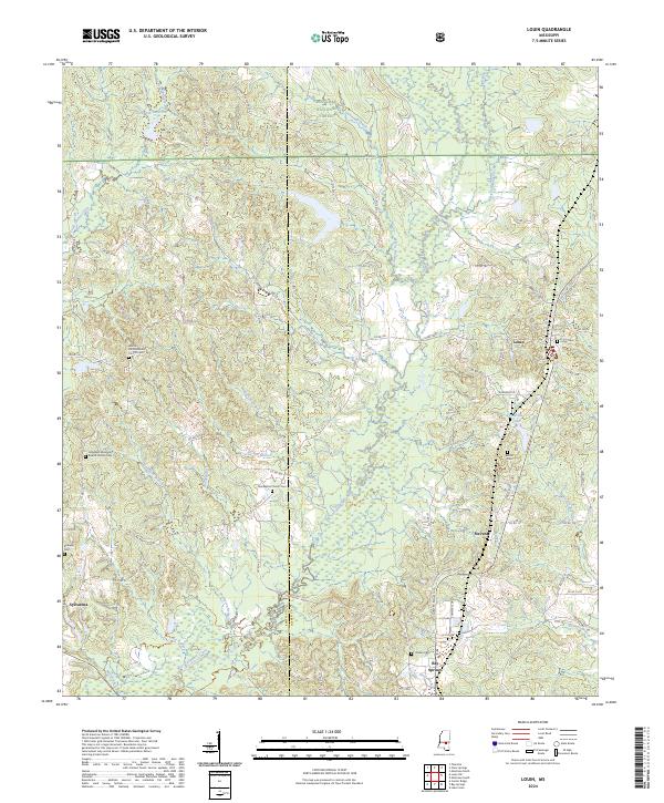
2024 Map of Louin
USGS Topo · Published 2024About this map
The town of Louin and its surrounding countryside in Jasper and Smith Counties are dominated by the extensive woodlands of the Bienville National Forest. The landscape is a network of small watercourses, including West Tallahala Creek and Little Ichusa Creek, which drain the varied terrain. Settlement patterns are defined by small communities and dispersed family landmarks, with Sylvarena and Stevens situated among the timbered hills.
Find a feature on this map
80 named features on this map. Tap any name to fly to it.
Don’t see what you’re looking for? This feature index may not catch every label — zoom into the map to look around manually.
Map Details
Editions of this 2024 Louin Map
This is the sole edition of this map. No revisions or reprints were ever made.
Other maps of this area

1953 · Hattiesburg
USGS Topo · 1:250,000

1953 · Meridian
USGS Topo · 1:250,000

1957 · Meridian
USGS Topo · 1:250,000

1958 · Hattiesburg
USGS Topo · 1:250,000

1964 · Lake Como
USGS Topo · 1:24,000

1965 · Meridian
USGS Topo · 1:250,000

1968 · Clear Springs
USGS Topo · 1:24,000

1968 · Pineville
USGS Topo · 1:24,000

1968 · Louin
USGS Topo · 1:24,000

1968 · Louin SW
USGS Topo · 1:24,000