
1939 Map of Louisa
USGS Topo · Published 1939About this map
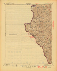
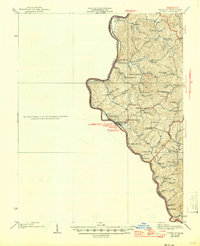
The Big Sandy River and Tug Fork define this West Virginia and Kentucky borderland as it appeared in the late 1930s. Centered on the riverside settlement of Fort Gay, the map illustrates a landscape tied heavily to its watercourses and the Norfolk and Western railroad corridor. While the riverbanks host larger hubs like Prichard and Saltpetre, the inland ridges of Pharaoh and the surrounding hollows are dotted with small community institutions. Numerous rural schools, including the notably named Double Cabin Sch and Christian Hill Sch, reveal a dispersed population pattern common in the Appalachian plateau before significant consolidation. These schoolhouses, along with local landmarks like Brick Ch and the mineral waters of Minnow Springs, provide specific geographic markers for tracing family heritage and land use along the forks of the river.
Find a feature on this map
58 named features on this map. Tap any name to fly to it.
Don’t see what you’re looking for? This feature index may not catch every label — zoom into the map to look around manually.
Map Details
Editions of this 1939 Louisa Map
3 editions found
Other maps of this area

1886 · Prestonsburg
USGS Topo · 1:125,000

1887 · Warfield
USGS Topo · 1:125,000

1891 · Warfield
USGS Topo · 1:125,000

1892 · Prestonsburg
USGS Topo · 1:125,000

1892 · Huntington
USGS Topo · 1:125,000

1898 · Huntington
USGS Topo · 1:125,000

1901 · Guyandot
USGS Topo · 1:62,500

1901 · Ceredo
USGS Topo · 1:62,500

1902 · Guyandot
USGS Topo · 1:62,500

1903 · Kenova
USGS Topo · 1:125,000