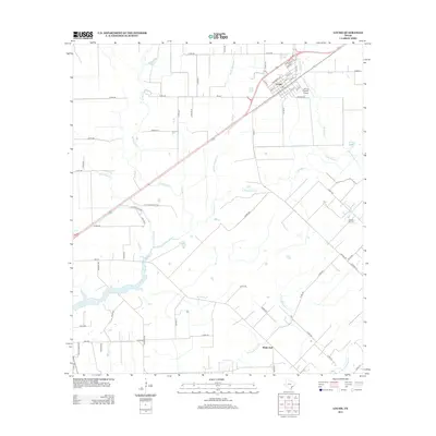
2013 Map of Louise
USGS Topo · Published 2013About this map
Louise serves as the primary hub of this coastal prairie landscape, where the town's grid is defined by a dense network of residential streets such as Appling St and proximity to the Flying V Ranch Airport. The region's agricultural and industrial character is shaped by the divergent paths of several watercourses, most notably the three branches of Mustang Creek—W Mustang Cr, Middle Mustang Cr, and E Mustang Cr—which drain toward the southwest.
Find a feature on this map
68 named features on this map. Tap any name to fly to it.
Don’t see what you’re looking for? This feature index may not catch every label — zoom into the map to look around manually.
Map Details
Editions of this 2013 Louise Map
This is the sole edition of this map. No revisions or reprints were ever made.
Other maps of this area

1952 · Francitas NW
USGS Topo · 1:24,000

1952 · Manson
USGS Topo · 1:24,000

1952 · Francitas NE
USGS Topo · 1:24,000

1953 · Beeville
USGS Topo · 1:250,000

1953 · Seguin
USGS Topo · 1:250,000

1956 · Beeville
USGS Topo · 1:250,000

1958 · Seguin
USGS Topo · 1:250,000

1960 · Beeville
USGS Topo · 1:250,000

1963 · Ganado
USGS Topo · 1:24,000

1965 · El Campo
USGS Topo · 1:24,000