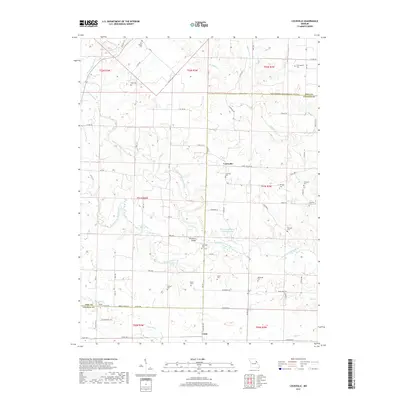
2017 Map of Louisville
USGS Topo · Published 2017About this map
Louisville sits at the intersection of a complex network of county roads and state highways, serving as a focal point for the surrounding rural landscape in northeastern Missouri. This area is defined by the winding course of the N Fork Cuivre River and its numerous tributaries, including Brush Cr and Little Cr. The land is dotted with family and community landmarks that reflect generations of local history, such as Uncle Sammys Spring and Parsons Spring.
Find a feature on this map
83 named features on this map. Tap any name to fly to it.
Don’t see what you’re looking for? This feature index may not catch every label — zoom into the map to look around manually.
Map Details
Editions of this 2017 Louisville Map
This is the sole edition of this map. No revisions or reprints were ever made.
Other maps of this area

1890 · Louisiana
USGS Topo · 1:125,000

1937 · Silex
USGS Topo · 1:62,500

1937 · Bowling Green
USGS Topo · 1:62,500

1939 · Silex
USGS Topo · 1:48,000

1940 · Bowling Green
USGS Topo · 1:62,500

1942 · Bellflower
USGS Topo · 1:62,500

1943 · Vandalia
USGS Topo · 1:62,500

1945 · Bellflower
USGS Topo · 1:62,500

1945 · Vandalia
USGS Topo · 1:62,500

1948 · Quincy
USGS Topo · 1:250,000