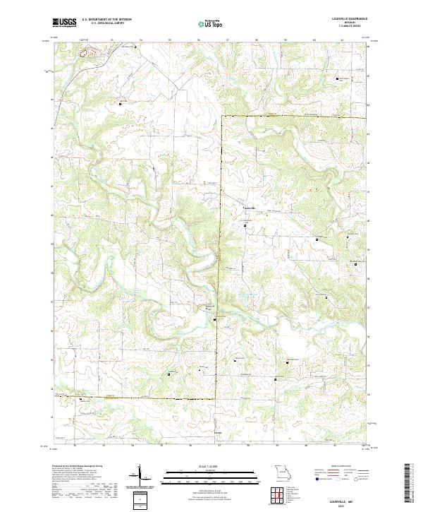
2021 Map of Louisville
USGS Topo · Published 2021About this map
The rolling agricultural landscape along the Pike Co Lincoln Co line is defined by the winding course of the North Fork Cuivre River and its many tributaries. The small settlement of Louisville serves as a central point in this rural area, which is heavily marked by family legacy through numerous small burial grounds such as Worthington Cem, Brinegar Cem, and Old Ashley Cem.
Find a feature on this map
75 named features on this map. Tap any name to fly to it.
Don’t see what you’re looking for? This feature index may not catch every label — zoom into the map to look around manually.
Map Details
Editions of this 2021 Louisville Map
This is the sole edition of this map. No revisions or reprints were ever made.
Other maps of this area

1890 · Louisiana
USGS Topo · 1:125,000

1937 · Silex
USGS Topo · 1:62,500

1937 · Bowling Green
USGS Topo · 1:62,500

1939 · Silex
USGS Topo · 1:48,000

1940 · Bowling Green
USGS Topo · 1:62,500

1942 · Bellflower
USGS Topo · 1:62,500

1943 · Vandalia
USGS Topo · 1:62,500

1945 · Bellflower
USGS Topo · 1:62,500

1945 · Vandalia
USGS Topo · 1:62,500

1948 · Quincy
USGS Topo · 1:250,000