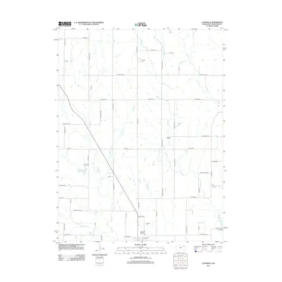
2012 Map of Louisville
USGS Topo · Published 2012About this map
Rock Cr and Vermillion Cr drain the eastern Pottawatomie County landscape, where the rural character of Kansas is defined by a grid of section-line roads and family-named landmarks. The area around Louisville Rd is anchored by historical burial sites including the Old County Farm Cem and the Louisville Cem, reflecting the early settlement patterns of the region. Near the southeastern corner of the survey, the Red Vermillion Crossing marks a significant point along the drainage of Vermillion Cr, while Elm Slough provides a distinctive marshy contrast to the surrounding agricultural uplands. Many roads, such as Pioneer Rd and Wagon Wheel Rd, preserve the nomenclature of 19th-century transit, even as the landscape evolved into the modern era.
Find a feature on this map
52 named features on this map. Tap any name to fly to it.
Don’t see what you’re looking for? This feature index may not catch every label — zoom into the map to look around manually.
Map Details
Editions of this 2012 Louisville Map
This is the sole edition of this map. No revisions or reprints were ever made.
Other maps of this area

1889 · Wamego
USGS Topo · 1:125,000

1894 · Wamego
USGS Topo · 1:125,000

1953 · Wamego
USGS Topo · 1:24,000

1953 · St George
USGS Topo · 1:24,000

1953 · Belvue
USGS Topo · 1:24,000

1955 · Manhattan
USGS Topo · 1:250,000

1956 · Manhattan
USGS Topo · 1:250,000

1957 · Manhattan
USGS Topo · 1:250,000
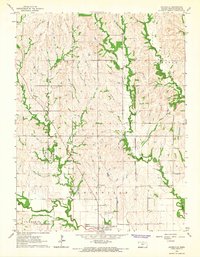
1964 · Louisville
USGS Topo · 1:24,000
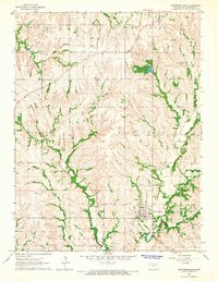
1964 · Westmoreland
USGS Topo · 1:24,000