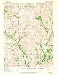
1964 Map of Westmoreland
USGS Topo · Published 1965About this map
Westmoreland serves as the focal point of this mid-1960s Pottawatomie County landscape, situated where the terrain begins to ripple into the steep drainages of Rock Creek and Darnell Creek. The area’s settlement history is deeply engraved in the landscape through a high density of rural burial grounds, including the Old Westmoreland Cem and St Columbkilles Cem near Blaine. These family and community landmarks, along with the Moodyville Cem and Huff Cem, provide essential anchor points for genealogical research in this part of Kansas.
Find a feature on this map
25 named features on this map. Tap any name to fly to it.
Don’t see what you’re looking for? This feature index may not catch every label — zoom into the map to look around manually.
Map Details
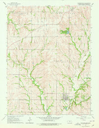
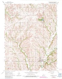
Editions of this 1964 Westmoreland Map
3 editions found
Other maps of this area

1886 · Junction City
USGS Topo · 1:125,000

1889 · Seneca
USGS Topo · 1:125,000

1889 · Wamego
USGS Topo · 1:125,000

1889 · Marysville
USGS Topo · 1:125,000

1889 · Junction City
USGS Topo · 1:125,000

1894 · Junction City
USGS Topo · 1:125,000

1894 · Seneca
USGS Topo · 1:125,000

1894 · Marysville
USGS Topo · 1:125,000

1894 · Wamego
USGS Topo · 1:125,000

1955 · Manhattan
USGS Topo · 1:250,000