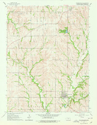
1964 Map of Westmoreland
USGS Topo · Published 1978About this map
Westmoreland serves as the primary hub in this mid-century survey of Pottawatomie County, positioned near the junction of Rock Creek and Pottawatomie Creek. The town's layout is documented with precision, noting local infrastructure like the Water Tank and several municipal Wells. To the north, the community of Blaine marks the upper reaches of the map, while the surrounding rural landscape is defined by a high density of family and community burial grounds, including St Columbkilles Cem, Huff Cem, and the Old Westmoreland Cem. The terrain is deeply carved by numerous waterways such as Buckshort Creek and Shannon Creek, leading toward the local high point at Mount Ephraim. Recreational land use is anchored by Pottawatomie County State Park No 1, which preserves the area's natural hydrology near the headwaters of Clear Creek.
Find a feature on this map
34 named features on this map. Tap any name to fly to it.
Don’t see what you’re looking for? This feature index may not catch every label — zoom into the map to look around manually.
Map Details
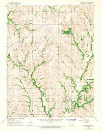
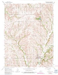
Editions of this 1964 Westmoreland Map
3 editions found
Other maps of this area

1886 · Junction City
USGS Topo · 1:125,000

1889 · Seneca
USGS Topo · 1:125,000

1889 · Wamego
USGS Topo · 1:125,000

1889 · Marysville
USGS Topo · 1:125,000

1889 · Junction City
USGS Topo · 1:125,000

1894 · Junction City
USGS Topo · 1:125,000

1894 · Seneca
USGS Topo · 1:125,000

1894 · Marysville
USGS Topo · 1:125,000

1894 · Wamego
USGS Topo · 1:125,000

1955 · Manhattan
USGS Topo · 1:250,000