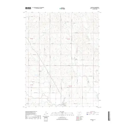
2018 Map of Louisville
USGS Topo · Published 2018About this map
Louisville stands at the confluence of several vital watercourses, where Rock Cr and Adams Cr meet before joining the larger Vermillion Creek. This Kansas landscape is defined by its agricultural legacy and early transit corridors, most notably the historic Oregon Trail Rd running along its southern edge. The area retains deep ties to its 19th-century roots, evidenced by the numerous burial grounds scattered across the countryside, including the Louisville Cem, Pleasant Hill Cem, and the Old County Farm Cem. The road network follows the section lines of the Public Land Survey System, though routes like Indian Village Rd and Water Mill Rd hint at earlier community hubs and industry. The terrain is a complex network of drainages, such as Brush Cr and Indian Cr, which have shaped the local farmsteads and settlement patterns through Pottawatomie County.
Find a feature on this map
53 named features on this map. Tap any name to fly to it.
Don’t see what you’re looking for? This feature index may not catch every label — zoom into the map to look around manually.
Map Details
Editions of this 2018 Louisville Map
This is the sole edition of this map. No revisions or reprints were ever made.
Other maps of this area

1889 · Wamego
USGS Topo · 1:125,000

1894 · Wamego
USGS Topo · 1:125,000

1953 · Wamego
USGS Topo · 1:24,000

1953 · St George
USGS Topo · 1:24,000

1953 · Belvue
USGS Topo · 1:24,000

1955 · Manhattan
USGS Topo · 1:250,000

1956 · Manhattan
USGS Topo · 1:250,000

1957 · Manhattan
USGS Topo · 1:250,000
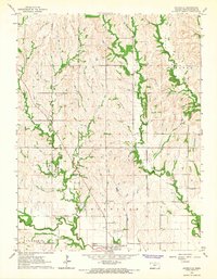
1964 · Louisville
USGS Topo · 1:24,000
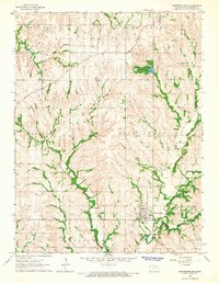
1964 · Westmoreland
USGS Topo · 1:24,000