Loading...
Loading map...2024 Map of Louisville South
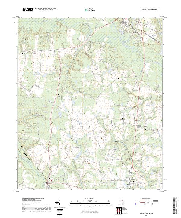
USGS Topo · Published 2024About this map
Louisville serves as a prominent focal point in this portion of Jefferson County, anchored by the Jefferson County Courthouse and its historical street grid. The surrounding landscape is defined by the winding course of the Ogeechee River and a dense network of smaller waterways including Rocky Comfort Creek and Savannah Branch. These watercourses historically dictated the placement of agrarian settlements like Moxley and Pine Hill.
Find a feature on this map
103 named features on this map. Tap any name to fly to it.
Don’t see what you’re looking for? This feature index may not catch every label — zoom into the map to look around manually.
Map Details
Date Portrayed2024
Date Published2024
PublisherU.S. Geological Survey
Map TypeTopographic
Scale1:24000
Physical Dimensions24 x 29 inches
Editions of this 2024 Louisville South Map
This is the sole edition of this map. No revisions or reprints were ever made.
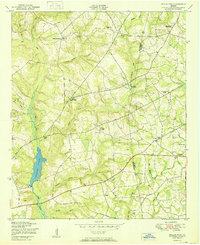
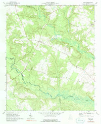
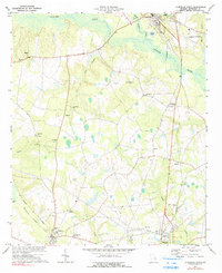
Historical Maps of Pine Hill Through Time
8 maps found
Featured Locations
Source Details
SourceU.S. Geological Survey
CopyrightPublic Domain