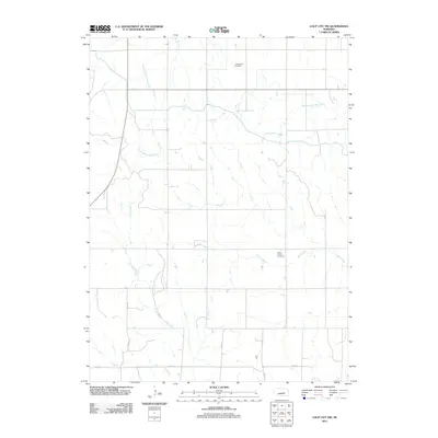
2011 Map of Loup City NW
USGS Topo · Published 2011About this map
North Branch Mira Creek and its various tributaries, including the S Branch Mira Creek, define the drainage patterns of this rural Nebraska landscape. The map reveals a highly structured grid of section roads and trails, such as Co Rd 3, Ridge Rd, and Trail 10, which speak to the area's agricultural partitioning.
Find a feature on this map
12 named features on this map. Tap any name to fly to it.
Don’t see what you’re looking for? This feature index may not catch every label — zoom into the map to look around manually.
Map Details
Editions of this 2011 Loup City NW Map
This is the sole edition of this map. No revisions or reprints were ever made.
Other maps of this area

1899 · Loup
USGS Topo · 1:125,000

1951 · Arcadia SE
USGS Topo · 1:24,000

1951 · Arcadia East
USGS Topo · 1:24,000

1952 · Comstock SE
USGS Topo · 1:24,000

1953 · Loup City NW
USGS Topo · 1:24,000

1953 · North Loup
USGS Topo · 1:24,000

1953 · Loup City SE
USGS Topo · 1:24,000

1953 · Loup City
USGS Topo · 1:24,000

1954 · Ord SE
USGS Topo · 1:24,000

1954 · Ord
USGS Topo · 1:24,000