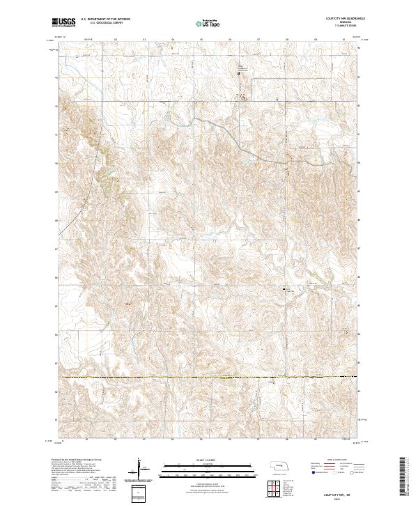
2021 Map of Loup City NW
USGS Topo · Published 2021About this map
The rolling drainage basins of central Nebraska define this landscape, where the Valley Co Sherman Co boundary line divides the upland terrain. This 2021 survey shows a rural environment primarily organized around the intermittent waters of N Br Mira Cr and S Br Mira Cr in the north, while the southern reaches are shaped by the winding course of Davis Cr.
Find a feature on this map
28 named features on this map. Tap any name to fly to it.
Don’t see what you’re looking for? This feature index may not catch every label — zoom into the map to look around manually.
Map Details
Editions of this 2021 Loup City NW Map
This is the sole edition of this map. No revisions or reprints were ever made.
Other maps of this area

1899 · Loup
USGS Topo · 1:125,000

1951 · Arcadia SE
USGS Topo · 1:24,000

1951 · Arcadia East
USGS Topo · 1:24,000

1952 · Comstock SE
USGS Topo · 1:24,000

1953 · Loup City NW
USGS Topo · 1:24,000

1953 · North Loup
USGS Topo · 1:24,000

1953 · Loup City SE
USGS Topo · 1:24,000

1953 · Loup City
USGS Topo · 1:24,000

1954 · Ord SE
USGS Topo · 1:24,000

1954 · Ord
USGS Topo · 1:24,000