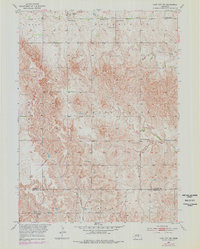
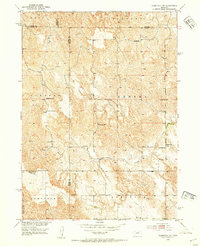
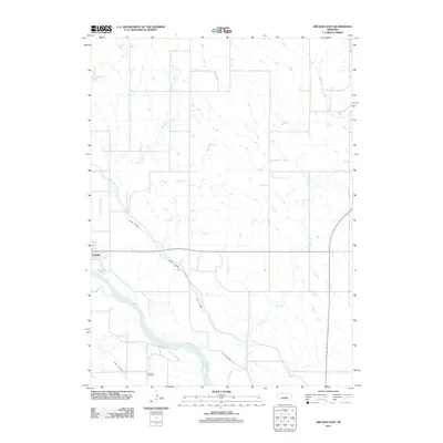
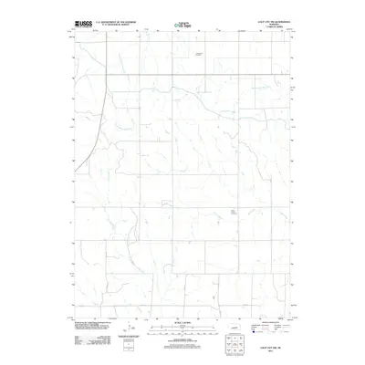
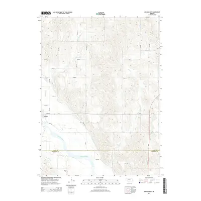
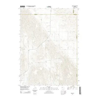
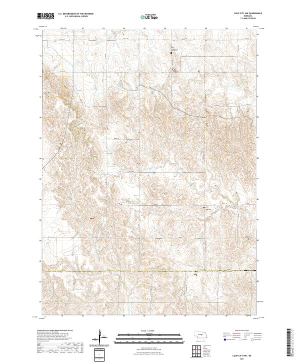
1953 Map of Loup City NW
USGS Topo · Published 1978About this map
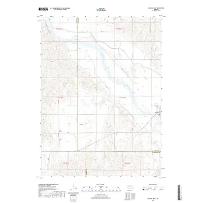
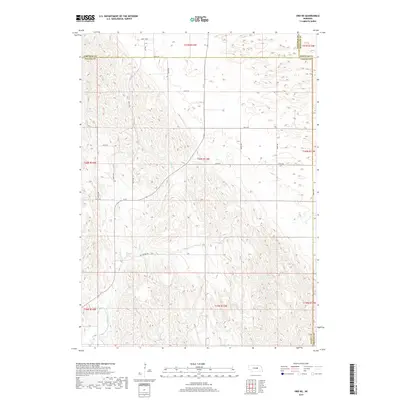
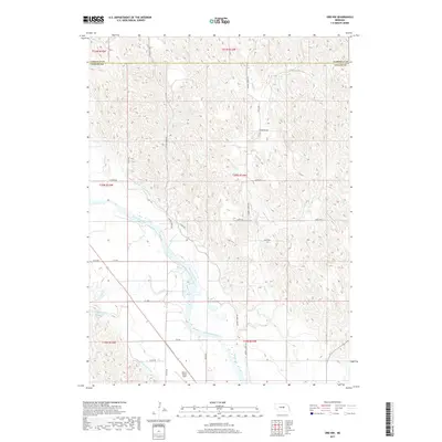
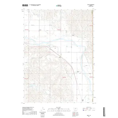
Mira Creek and its South Branch carve through the section lines of this rural landscape, which spans the boundary between Valley and Sherman counties. The agricultural settlement pattern is defined by a high density of rural schoolhouses, including School No. 15, School No. 10, School No. 57, and School No. 47. These structures, along with the Davis Creek School further south, served a dispersed farming community during the mid-20th century.
Find a feature on this map
16 named features on this map. Tap any name to fly to it.
Don’t see what you’re looking for? This feature index may not catch every label — zoom into the map to look around manually.
Map Details
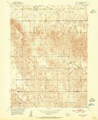
Editions of this 1953 Loup City NW Map
2 editions found
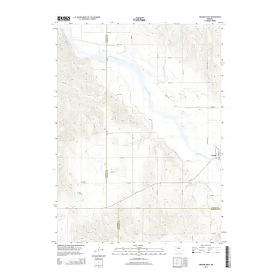
Historical Maps of Valley County Through Time
40 maps found
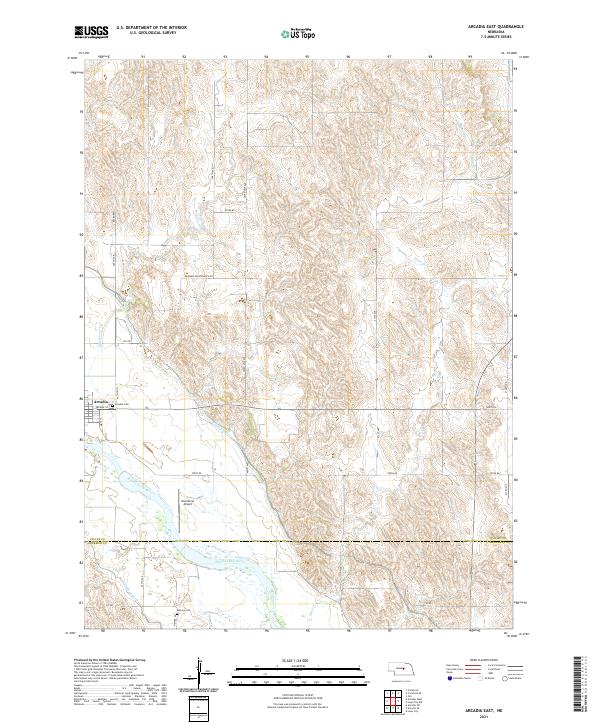
1951 Arcadia East
Valley County, NE
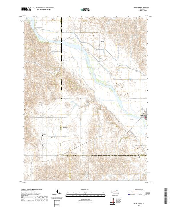
1951 Arcadia West
Valley County, NE
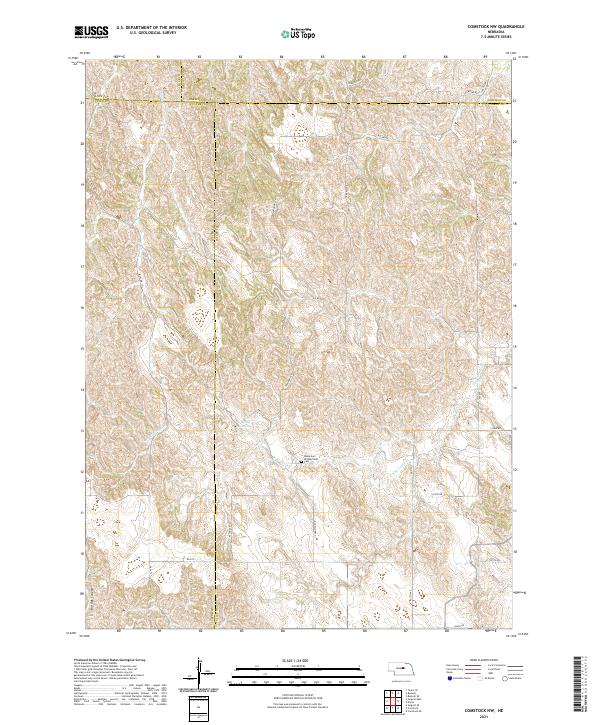
1952 Comstock NW
Valley County, NE
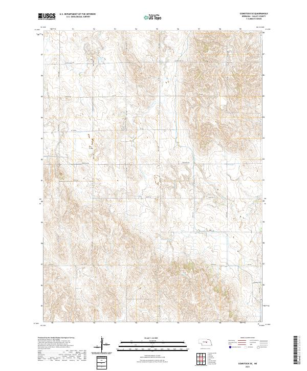
1952 Comstock SE
Valley County, NE
1953 Loup City NW
Valley County, NE
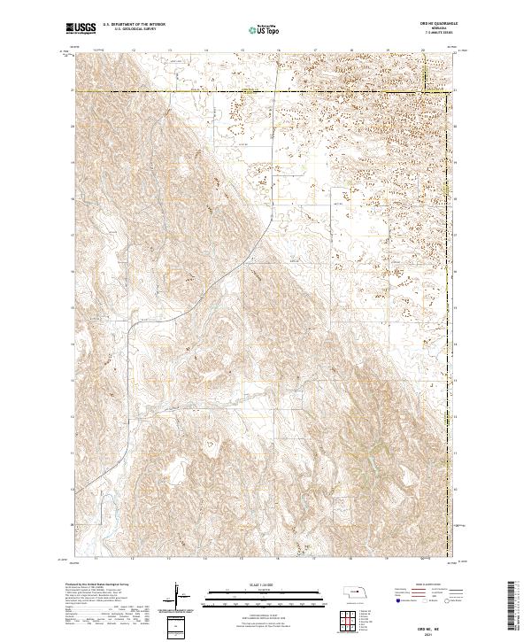
1954 Ord NE
Valley County, NE

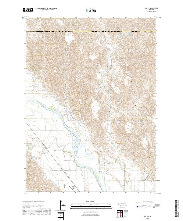
1954 Ord NW
Valley County, NE
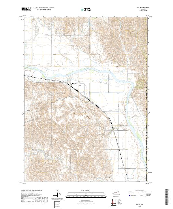
1954 Ord SE
Valley County, NE
2011 Arcadia East
Valley County, NE
2011 Arcadia West
Valley County, NE
2011 Comstock NW
Valley County, NE
2011 Comstock SE
Valley County, NE
2011 Loup City NW
Valley County, NE
2011 Ord NE
Valley County, NE
2011 Ord NW
Valley County, NE
2011 Ord SE
Valley County, NE
2014 Arcadia East
Valley County, NE
2014 Arcadia West
Valley County, NE
2014 Comstock NW
Valley County, NE

2014 Comstock SE
Valley County, NE
2014 Loup City NW
Valley County, NE
2014 Ord NE
Valley County, NE
2014 Ord NW
Valley County, NE
2014 Ord SE
Valley County, NE
2017 Arcadia East
Valley County, NE
2017 Arcadia West
Valley County, NE
2017 Comstock NW
Valley County, NE
2017 Comstock SE
Valley County, NE
2017 Loup City NW
Valley County, NE
2017 Ord NE
Valley County, NE
2017 Ord NW
Valley County, NE
2017 Ord SE
Valley County, NE
2021 Arcadia East
Valley County, NE
2021 Arcadia West
Valley County, NE
2021 Comstock NW
Valley County, NE
2021 Comstock SE
Valley County, NE
2021 Loup City NW
Valley County, NE
2021 Ord NE
Valley County, NE
2021 Ord NW
Valley County, NE
2021 Ord SE
Valley County, NE