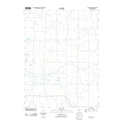
2011 Map of Loup City SE
USGS Topo · Published 2011About this map
Sherman Reservoir dominates the northwestern reaches of this Sherman County landscape, held in check by the massive Sherman Dam. This part of Nebraska is defined by a sophisticated system of water management and rural infrastructure, visible in the way Turkey Creek and Oak Creek thread through the township grids. Farther south, the smaller Lewandowski Reservoir and Lewandowski Dam further illustrate the localized irrigation and water storage patterns of the early twenty-first century. The road network, including the Ashton Hwy and Dannevirke Rd, follows the traditional section lines typical of the Great Plains, providing access between farmsteads and nearby settlements. This survey provides a clear view of the engineered landscape where natural drainage and human-made reservoirs intersect.
Find a feature on this map
12 named features on this map. Tap any name to fly to it.
Don’t see what you’re looking for? This feature index may not catch every label — zoom into the map to look around manually.
Map Details
Editions of this 2011 Loup City SE Map
This is the sole edition of this map. No revisions or reprints were ever made.
Other maps of this area

1899 · Loup
USGS Topo · 1:125,000

1953 · Loup City NW
USGS Topo · 1:24,000

1953 · Cotesfield
USGS Topo · 1:24,000

1953 · North Loup
USGS Topo · 1:24,000

1953 · Scotia
USGS Topo · 1:24,000

1953 · Ravenna NW
USGS Topo · 1:24,000

1953 · Loup City SE
USGS Topo · 1:24,000

1953 · Loup City
USGS Topo · 1:24,000

1953 · Farwell
USGS Topo · 1:24,000

1953 · Ashton
USGS Topo · 1:24,000