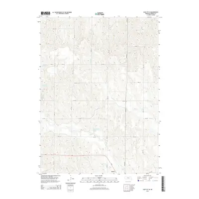
2014 Map of Loup City SE
USGS Topo · Published 2014About this map
Ashton anchors the southeast corner of this Sherman County landscape, where the agricultural grid is defined by a dense network of numbered avenues and roads. The terrain is shaped by the drainage patterns of Turkey Cr and Oak Cr, which wind through the undulating prairie. Water management is a central theme of this 2014 survey, highlighted by the presence of Sherman Reservoir on the western edge and Lewandowski Reservoir near the center. These water bodies, along with smaller drainage features, contrast with the straight lines of the rural transit system, including Ne-92 which cuts across the southern portion of the map. For researchers, this document captures the modern state of land use in a region where local travel is facilitated by corridors like Ashton Ave and recreation is integrated into the hydraulic landscape via routes such as Trail 6.
Find a feature on this map
21 named features on this map. Tap any name to fly to it.
Don’t see what you’re looking for? This feature index may not catch every label — zoom into the map to look around manually.
Map Details
Editions of this 2014 Loup City SE Map
This is the sole edition of this map. No revisions or reprints were ever made.
Other maps of this area

1899 · Loup
USGS Topo · 1:125,000

1953 · Loup City NW
USGS Topo · 1:24,000

1953 · Cotesfield
USGS Topo · 1:24,000

1953 · North Loup
USGS Topo · 1:24,000

1953 · Scotia
USGS Topo · 1:24,000

1953 · Ravenna NW
USGS Topo · 1:24,000

1953 · Loup City SE
USGS Topo · 1:24,000

1953 · Loup City
USGS Topo · 1:24,000

1953 · Farwell
USGS Topo · 1:24,000

1953 · Ashton
USGS Topo · 1:24,000