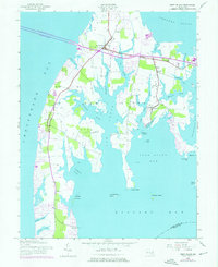
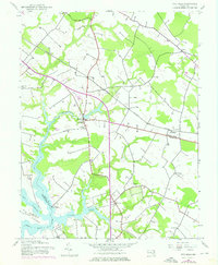
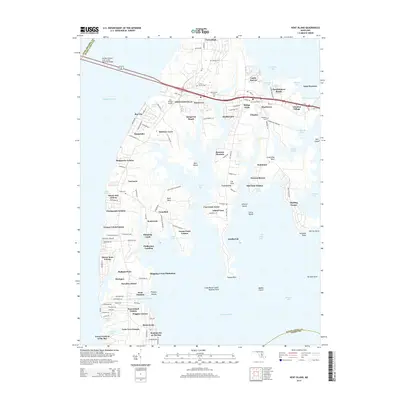
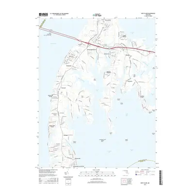
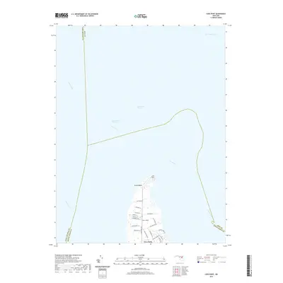
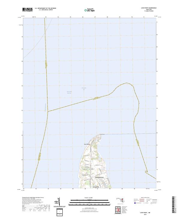
1953 Map of Love Point
USGS Topo · Published 1969About this map
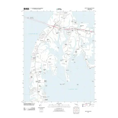
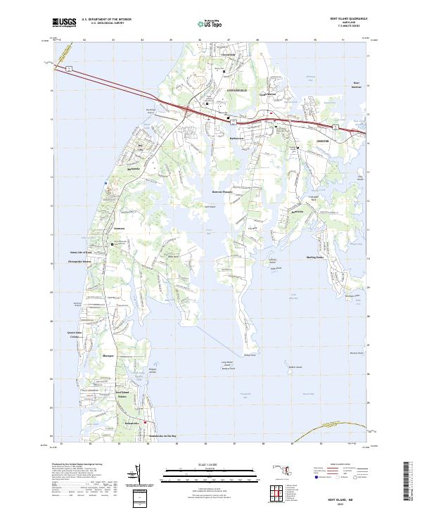
Kent Island anchors the southern edge of this mid-century survey, situated at the strategic northern tip where the Chesapeake Bay meets the Chester River. The map focuses on the settlement of Love Point, a site shaped by its position at the end of the Baltimore and Eastern railroad line. At this point in the 1950s, the maritime infrastructure is clearly defined, including the Love Point Lighthouse and a Landing Strip near the northern shore.
Find a feature on this map
13 named features on this map. Tap any name to fly to it.
Don’t see what you’re looking for? This feature index may not catch every label — zoom into the map to look around manually.
Map Details
Editions of this 1953 Love Point Map
2 editions found
Historical Maps of Love Point Through Time
28 maps found
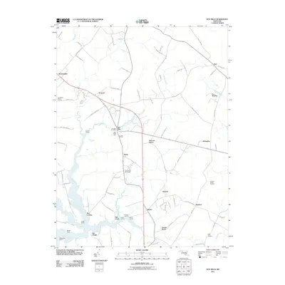
1942 Kent Island
Queen Anne's County, MD
1942 Love Point
Queen Anne's County, MD
1942 Wye Mills
Queen Anne's County, MD
1943 Centerville
Queen Anne's County, MD
1943 Kent Island
Queen Anne's County, MD
1943 Wye Mills
Queen Anne's County, MD
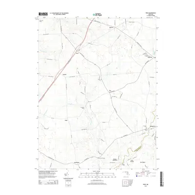
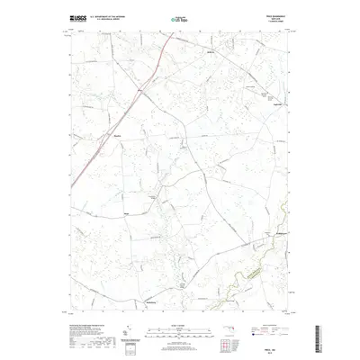
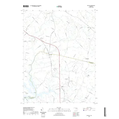
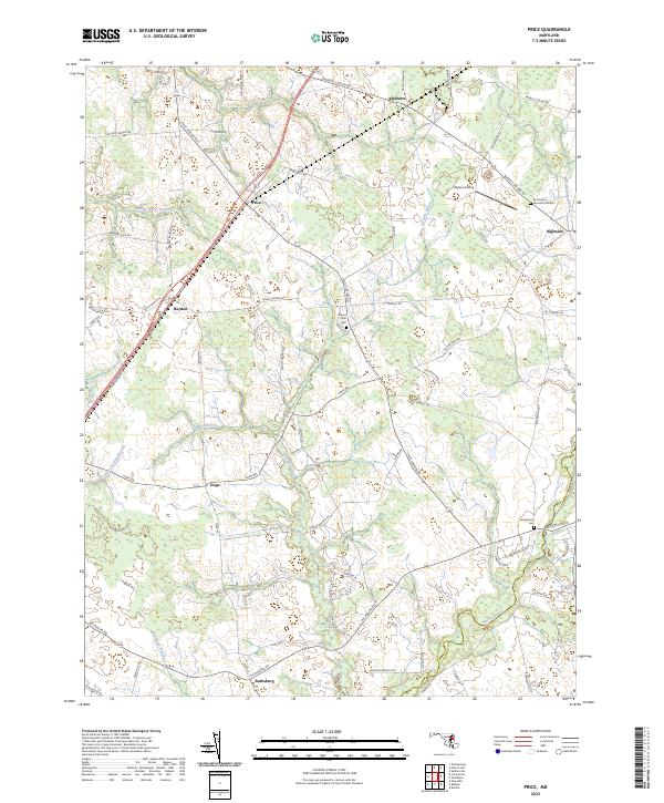
1944 Price
Queen Anne's County, MD
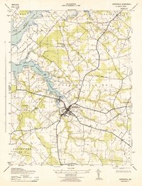
1953 Love Point
Queen Anne's County, MD
2011 Kent Island
Queen Anne's County, MD
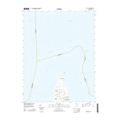
2011 Love Point
Queen Anne's County, MD
2011 Price
Queen Anne's County, MD
2011 Wye Mills
Queen Anne's County, MD
2014 Kent Island
Queen Anne's County, MD
2014 Love Point
Queen Anne's County, MD
2014 Price
Queen Anne's County, MD
2014 Wye Mills
Queen Anne's County, MD
2016 Kent Island
Queen Anne's County, MD
2016 Wye Mills
Queen Anne's County, MD
2017 Love Point
Queen Anne's County, MD
2017 Price
Queen Anne's County, MD
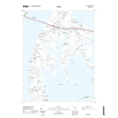
2019 Kent Island
Queen Anne's County, MD
2019 Love Point
Queen Anne's County, MD
2019 Price
Queen Anne's County, MD
2019 Wye Mills
Queen Anne's County, MD
2023 Kent Island
Queen Anne's County, MD
2023 Love Point
Queen Anne's County, MD
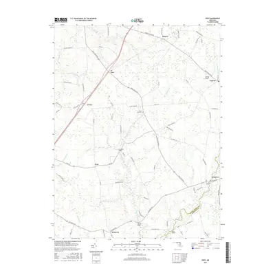
2023 Price
Queen Anne's County, MD
2023 Wye Mills
Queen Anne's County, MD