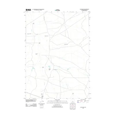
2012 Map of Love Ranch
USGS Topo · Published 2012About this map
Love Ranch and Roberts Sheep Camp anchor this arid landscape in Fremont County, representing the long-standing livestock traditions of central Wyoming. The terrain is defined by an intricate network of ephemeral drainages and coulees, including the descriptively named Jumping-off Draw, Buffalo Wallows, and Puddle Springs Draw. These features, along with Muskrat Cr, illustrate how water—or the lack of it—shapes the geography and naming conventions of the high plains.
Find a feature on this map
17 named features on this map. Tap any name to fly to it.
Don’t see what you’re looking for? This feature index may not catch every label — zoom into the map to look around manually.
Map Details
Editions of this 2012 Love Ranch Map
This is the sole edition of this map. No revisions or reprints were ever made.
Other maps of this area

1952 · Seventy-one Reservoir
USGS Topo · 1:24,000

1952 · Squaw Butte
USGS Topo · 1:24,000

1952 · Rongis Reservoir SE
USGS Topo · 1:24,000

1952 · Love Ranch
USGS Topo · 1:24,000

1952 · Gas Hills
USGS Topo · 1:24,000

1952 · Puddle Springs
USGS Topo · 1:24,000

1952 · Butte Well
USGS Topo · 1:24,000

1952 · Moneta SE
USGS Topo · 1:24,000

1952 · Miles Ranch
USGS Topo · 1:24,000

1955 · Arminto
USGS Topo · 1:250,000