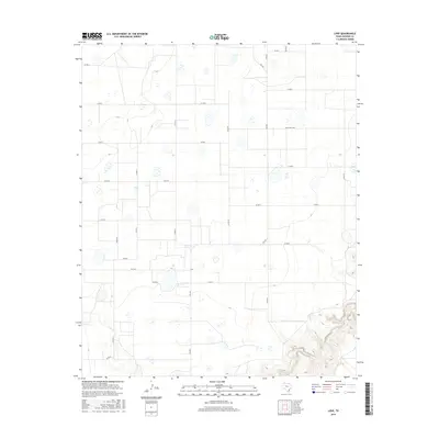
2016 Map of Love
USGS Topo · Published 2016About this map
Love anchors this high plains landscape in Swisher County, situated at the junction of FM 2301 and Co RD O. The terrain is characterized by a grid of agricultural and ranching routes, including Ranch Rd 3300 and FM 1318. While much of the quadrangle is defined by the flat, surveyed geometry of the Texas Panhandle, the southern portion breaks into more complex topography where Tule Cr carves through the land. This transition from the tabletop plateau to the drainage system provides a clear view of the water's influence on the local geography. The map documents a sparsely populated but active rural corridor, primarily serving the regional farming and ranching economy through a systematic network of county roads.
Find a feature on this map
21 named features on this map. Tap any name to fly to it.
Don’t see what you’re looking for? This feature index may not catch every label — zoom into the map to look around manually.
Map Details
Editions of this 2016 Love Map
This is the sole edition of this map. No revisions or reprints were ever made.
Other maps of this area

1954 · Plainview
USGS Topo · 1:250,000

1958 · Plainview
USGS Topo · 1:250,000

1965 · Rock Creek
USGS Topo · 1:24,000

1965 · Vigo Park
USGS Topo · 1:24,000

1965 · Cope Creek
USGS Topo · 1:24,000

1968 · Tule Lake
USGS Topo · 1:24,000

1969 · Love
USGS Topo · 1:24,000

1969 · Jackson Hill
USGS Topo · 1:24,000

1969 · Claytonville
USGS Topo · 1:24,000

1969 · Tule Lake NW
USGS Topo · 1:24,000