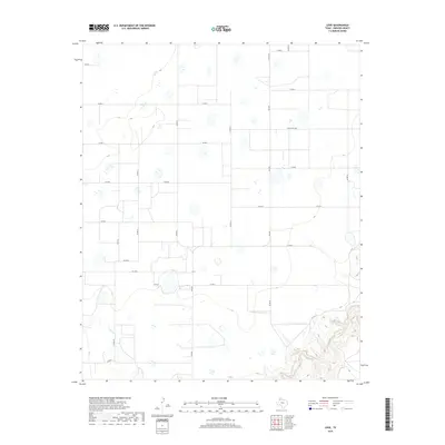
2019 Map of Love
USGS Topo · Published 2019About this map
Love occupies the heart of this High Plains landscape in Swisher County, where the geometric precision of the Texas panhandle’s road grid meets the winding drainage of Tule Cr. The topography is defined by broad plateaus punctuated by numerous small playa lakes and depressions, a characteristic feature of this agricultural region. Transportation in this part of the county is anchored by a network of farm-to-market roads and county routes, including Fm 2301 and Fm 1318, which facilitate the movement of goods from local farms to regional hubs. To the southeast, the terrain begins to break away from the flat plains, descending into the more complex, eroded drainage patterns surrounding Tule Cr. This map documents a quiet rural community where the landscape is dictated by the requirements of large-scale ranching and agriculture.
Find a feature on this map
21 named features on this map. Tap any name to fly to it.
Don’t see what you’re looking for? This feature index may not catch every label — zoom into the map to look around manually.
Map Details
Editions of this 2019 Love Map
This is the sole edition of this map. No revisions or reprints were ever made.
Other maps of this area

1954 · Plainview
USGS Topo · 1:250,000

1958 · Plainview
USGS Topo · 1:250,000

1965 · Rock Creek
USGS Topo · 1:24,000

1965 · Vigo Park
USGS Topo · 1:24,000

1965 · Cope Creek
USGS Topo · 1:24,000

1968 · Tule Lake
USGS Topo · 1:24,000

1969 · Love
USGS Topo · 1:24,000

1969 · Jackson Hill
USGS Topo · 1:24,000

1969 · Claytonville
USGS Topo · 1:24,000

1969 · Tule Lake NW
USGS Topo · 1:24,000