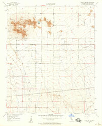
1957 Map of Lovejoy Buttes
USGS Topo · Published 1958About this map
Wilsona Ranch and the small settlement of Llano anchor this mid-century desert landscape in the eastern Antelope Valley. The terrain is defined by the prominent Lovejoy Buttes and Black Butte, which rise sharply above the alluvial plains. This environment is characterized by its reliance on underground water sources, evidenced by numerous wells and the presence of Lovejoy Springs. The map reveals the early development of local industry through several quarries located in the foothills.
Find a feature on this map
20 named features on this map. Tap any name to fly to it.
Don’t see what you’re looking for? This feature index may not catch every label — zoom into the map to look around manually.
Map Details
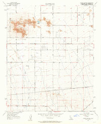
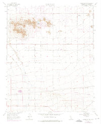
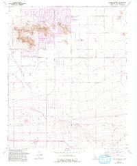
Editions of this 1957 Lovejoy Buttes Map
4 editions found
Other maps of this area

1901 · Southern California Sheet No. 1
USGS Topo · 1:250,000

1903 · Rock Creek
USGS Topo · 1:62,500

1903 · San Antonio
USGS Topo · 1:62,500

1904 · Southern California Sheet No. 1
USGS Topo · 1:250,000

1930 · Lovejoy Springs
USGS Topo · 1:24,000

1930 · Black Butte
USGS Topo · 1:24,000

1930 · Llano
USGS Topo · 1:24,000

1930 · Wilsona
USGS Topo · 1:24,000

1933 · Lovejoy Springs
USGS Topo · 1:24,000

1933 · Black Butte
USGS Topo · 1:24,000