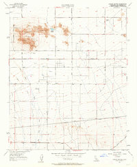
1957 Map of Lovejoy Buttes
USGS Topo · Published 1963About this map
Lovejoy Buttes rise sharply from the High Desert floor, anchoring a landscape defined by isolated peaks and expansive alluvial fans in the late 1950s. The area around Wilsona Ranch and the small settlement of Wilsona shows the early development of this arid region, where water access was critical, as evidenced by Lovejoy Springs and numerous scattered wells. The topography is dominated by the broad, braided path of Big Rock Creek Wash, which carries seasonal runoff toward the basin floor.
Find a feature on this map
20 named features on this map. Tap any name to fly to it.
Don’t see what you’re looking for? This feature index may not catch every label — zoom into the map to look around manually.
Map Details
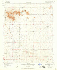
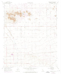
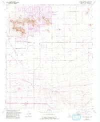
Editions of this 1957 Lovejoy Buttes Map
4 editions found
Other maps of this area

1901 · Southern California Sheet No. 1
USGS Topo · 1:250,000

1903 · Rock Creek
USGS Topo · 1:62,500

1903 · San Antonio
USGS Topo · 1:62,500

1904 · Southern California Sheet No. 1
USGS Topo · 1:250,000

1930 · Lovejoy Springs
USGS Topo · 1:24,000

1930 · Black Butte
USGS Topo · 1:24,000

1930 · Llano
USGS Topo · 1:24,000

1930 · Wilsona
USGS Topo · 1:24,000

1933 · Lovejoy Springs
USGS Topo · 1:24,000

1933 · Black Butte
USGS Topo · 1:24,000