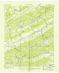
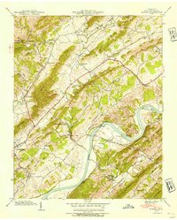
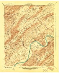
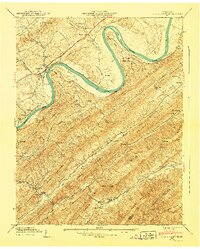
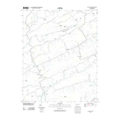
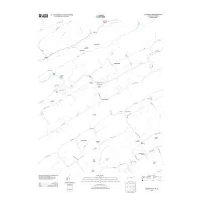
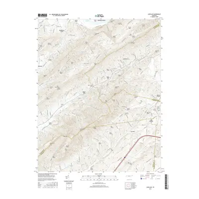
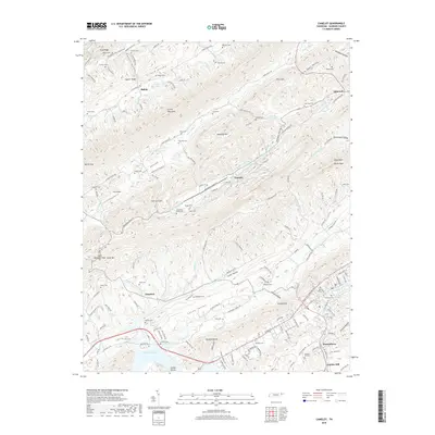
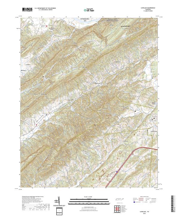
1939 Map of Lovelace
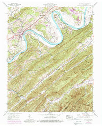
USGS Topo · Published 1965About this map
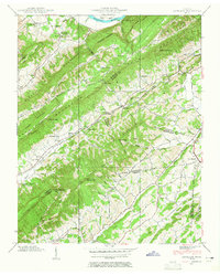
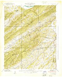
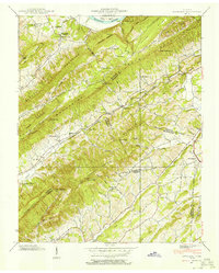
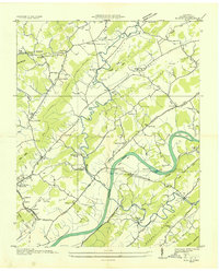
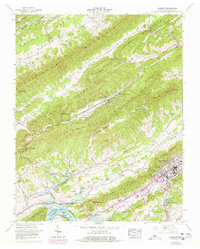
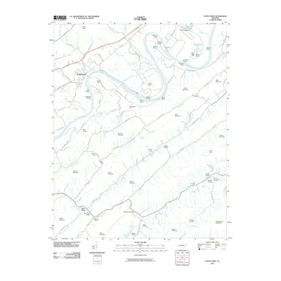
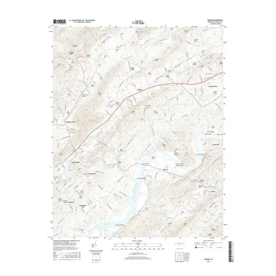
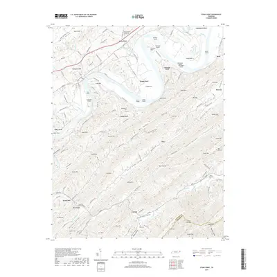
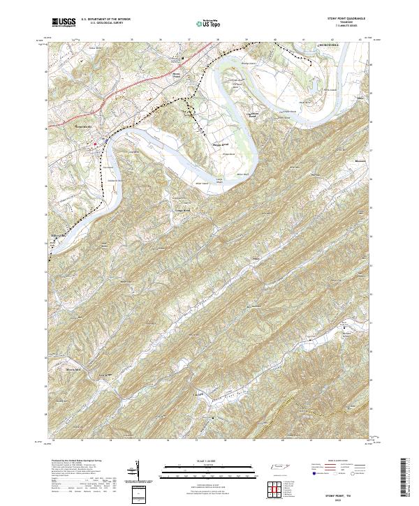
Bays Mountain and Chimneytop Mountain dominate this East Tennessee landscape, creating a series of parallel ridges and valleys where rural communities established themselves in the late 1930s. The topographic detail captures the intersection of four counties, showing a social fabric anchored by local institutions like Solomon Temple Sch, Cedar Chapel, and the uniquely named Yankee Cem. Water power and industry are evident along the creeks, marked by Light Mill and Dykes Mill, while a Lumber Railroad snakes through the gaps of Grassy Bays Mountain, indicating the era's active timber extraction. The presence of the Airway Beacon Chimneytop on the high ridge reflects the early infrastructure of mid-century aerial navigation over the rugged Hawkins and Sullivan borderlands.
Find a feature on this map
101 named features on this map. Tap any name to fly to it.
Don’t see what you’re looking for? This feature index may not catch every label — zoom into the map to look around manually.
Map Details
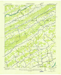
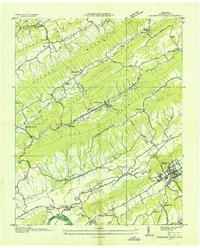
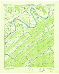
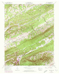
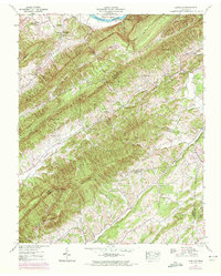
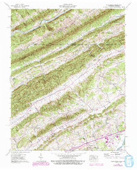
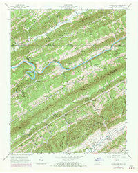
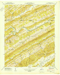
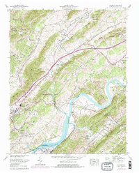
Editions of this 1939 Lovelace Map
4 editions found
Historical Maps of Kingsport Through Time
56 maps found
1935 Burem
Hawkins County, TN
1935 Lee Valley
Hawkins County, TN

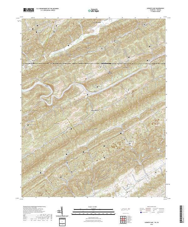
1935 Looneys Gap
Hawkins County, TN

1935 Lovelace
Hawkins County, TN
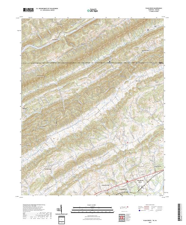
1935 Plum Grove
Hawkins County, TN
1935 Pressmens Home
Hawkins County, TN
1935 Stonypoint
Hawkins County, TN
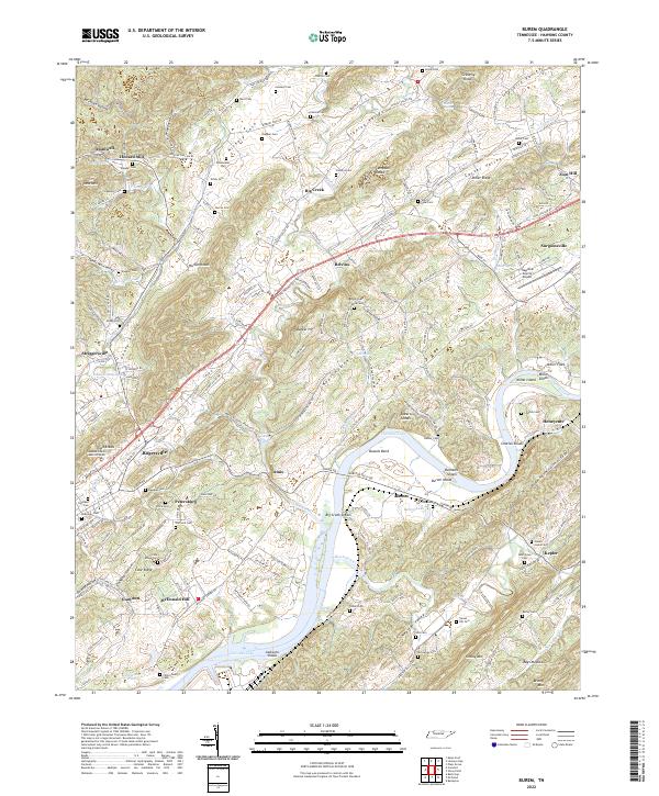
1939 Burem
Hawkins County, TN
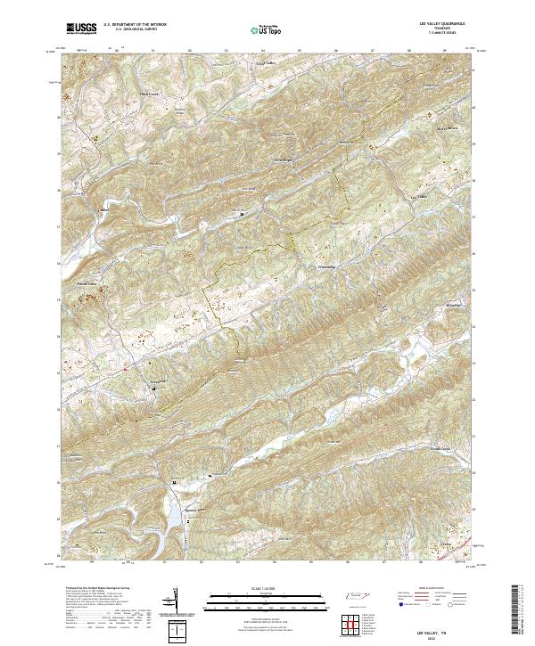
1939 Lee Valley
Hawkins County, TN
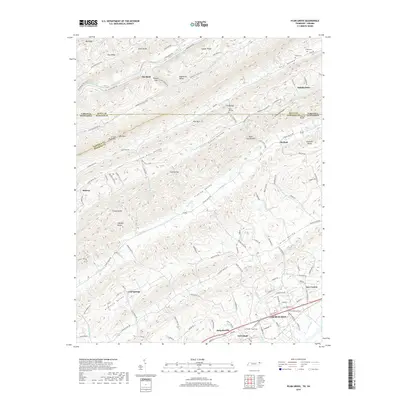
1939 Lovelace
Hawkins County, TN
1939 Plum Grove
Hawkins County, TN
1939 Stony Point
Hawkins County, TN
1940 Burem
Hawkins County, TN
1940 Lee Valley
Hawkins County, TN
1940 Pressmens Home
Hawkins County, TN
1940 Stony Point
Hawkins County, TN
1947 Looneys Gap
Hawkins County, TN
1950 Looneys Gap
Hawkins County, TN
1961 Burem
Hawkins County, TN
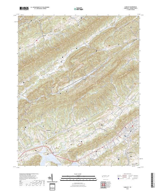
1961 Camelot
Hawkins County, TN
1976 Looneys Gap
Hawkins County, TN
2010 Burem
Hawkins County, TN
2010 Camelot
Hawkins County, TN
2010 Lee Valley
Hawkins County, TN
2010 Looneys Gap
Hawkins County, TN
2010 Lovelace
Hawkins County, TN
2010 Plum Grove
Hawkins County, TN
2010 Stony Point
Hawkins County, TN
2013 Burem
Hawkins County, TN
2013 Camelot
Hawkins County, TN
2013 Lee Valley
Hawkins County, TN
2013 Looneys Gap
Hawkins County, TN
2013 Lovelace
Hawkins County, TN
2013 Plum Grove
Hawkins County, TN
2013 Stony Point
Hawkins County, TN
2016 Burem
Hawkins County, TN
2016 Camelot
Hawkins County, TN
2016 Lee Valley
Hawkins County, TN
2016 Looneys Gap
Hawkins County, TN
2016 Lovelace
Hawkins County, TN
2016 Plum Grove
Hawkins County, TN
2016 Stony Point
Hawkins County, TN
2019 Burem
Hawkins County, TN
2019 Camelot
Hawkins County, TN
2019 Lee Valley
Hawkins County, TN
2019 Looneys Gap
Hawkins County, TN
2019 Lovelace
Hawkins County, TN
2019 Plum Grove
Hawkins County, TN
2019 Stony Point
Hawkins County, TN
2022 Burem
Hawkins County, TN
2022 Camelot
Hawkins County, TN
2022 Lee Valley
Hawkins County, TN
2022 Looneys Gap
Hawkins County, TN
2022 Lovelace
Hawkins County, TN
2022 Plum Grove
Hawkins County, TN
2022 Stony Point
Hawkins County, TN