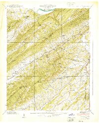
1939 Map of Lovelace
USGS Topo · Published 1939About this map
The Bays Mountains dominate this 1939 Tennessee Valley Authority and USGS collaboration, showing a landscape defined by sharp ridges and narrow valleys on the border of Hawkins, Sullivan, and Greene counties. Small farming and timber communities are scattered throughout the gaps, with Dykes Mill and Light Mill marking early industrial sites along the creeks. The area's social fabric is visible through its many country institutions, including Cedar Chapel, Mc Ferrin Ch, and the curiously named Yankee Cem located near the Upper Grassy Fork.
Find a feature on this map
104 named features on this map. Tap any name to fly to it.
Don’t see what you’re looking for? This feature index may not catch every label — zoom into the map to look around manually.
Map Details
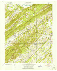
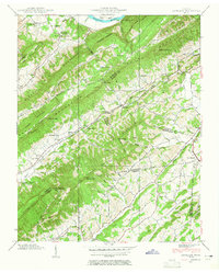
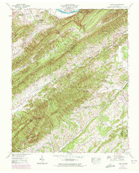
Editions of this 1939 Lovelace Map
4 editions found
Other maps of this area

1892 · Greeneville
USGS Topo · 1:125,000

1894 · Estillville
USGS Topo · 1:125,000

1896 · Greeneville
USGS Topo · 1:125,000

1904 · Greeneville
USGS Topo · 1:125,000

1935 · Surgoinsville
USGS Topo · 1:48,000

1935 · Baileyton
USGS Topo · 1:24,000

1935 · Lovelace
USGS Topo · 1:24,000

1935 · Sullivan Gardens
USGS Topo · 1:24,000

1935 · Moggasin
USGS Topo · 1:48,000

1935 · Leesburg
USGS Topo · 1:24,000