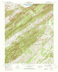
1939 Map of Lovelace
USGS Topo · Published 1972About this map
The Holston River winds through the northern reaches of this East Tennessee landscape, anchoring a region defined by the parallel ridges of Bays Mountain and Grassy Mountain. Surveyed in the late 1930s, the map reveals a rural economy dependent on gap crossings and valley creek beds, with local life centered around a dense network of country churches and schools. Family-named landmarks such as McPheeter Bend, where both the McPheeter Ch and McPheeter Sch stood, suggest deep-rooted generational settlements along the river's fertile edge.
Find a feature on this map
56 named features on this map. Tap any name to fly to it.
Don’t see what you’re looking for? This feature index may not catch every label — zoom into the map to look around manually.
Map Details
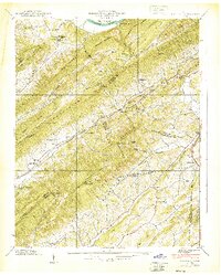
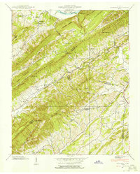
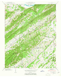
Editions of this 1939 Lovelace Map
4 editions found
Other maps of this area

1892 · Greeneville
USGS Topo · 1:125,000

1894 · Estillville
USGS Topo · 1:125,000

1896 · Greeneville
USGS Topo · 1:125,000

1904 · Greeneville
USGS Topo · 1:125,000

1935 · Surgoinsville
USGS Topo · 1:48,000

1935 · Baileyton
USGS Topo · 1:24,000

1935 · Lovelace
USGS Topo · 1:24,000

1935 · Sullivan Gardens
USGS Topo · 1:24,000

1935 · Moggasin
USGS Topo · 1:48,000

1935 · Leesburg
USGS Topo · 1:24,000