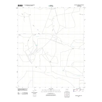
2010 Map of Lovelady Draw
USGS Topo · Published 2010About this map
Baker Ranch and Shirley Ranch anchor this high-plains landscape in De Baca County, where the topography is defined by the ephemeral watercourses of Lovelady Draw and the wide drainage of Arroyo Mora. The map captures a ranching economy reliant on carefully managed water sources, evidenced by named landmarks like Lovelady Spring and several critical watering points including Galloway Tank and Short Tank.
Find a feature on this map
19 named features on this map. Tap any name to fly to it.
Don’t see what you’re looking for? This feature index may not catch every label — zoom into the map to look around manually.
Map Details
Editions of this 2010 Lovelady Draw Map
This is the sole edition of this map. No revisions or reprints were ever made.
Other maps of this area

1954 · Fort Sumner
USGS Topo · 1:250,000

1955 · Roswell
USGS Topo · 1:250,000

1958 · Fort Sumner
USGS Topo · 1:250,000

1958 · Roswell
USGS Topo · 1:250,000

1962 · Roswell
USGS Topo · 1:250,000

1967 · Deering Place
USGS Topo · 1:24,000

1967 · Dunlap NE
USGS Topo · 1:24,000

1967 · Dunlap Sill
USGS Topo · 1:24,000

1967 · Conejo Creek West
USGS Topo · 1:24,000

1967 · Swallow Nest Canyon
USGS Topo · 1:24,000