
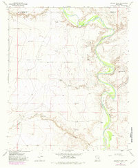
1967 Map of Deering Place
USGS Topo · Published 1971About this map
The Pecos River carves a winding path through this corner of the High Plains, defining the landscape where the borders of De Baca and Chaves counties meet. This arid environment in the late 1960s is marked by a network of essential water sources, including numerous livestock wells and tanks like East Tank and Spring Tank. The geography is defined by broad flats such as North Flat and Pump Flat, occasionally interrupted by prominent features like La Espiaita Peak.
Find a feature on this map
25 named features on this map. Tap any name to fly to it.
Don’t see what you’re looking for? This feature index may not catch every label — zoom into the map to look around manually.
Map Details
Editions of this 1967 Deering Place Map
2 editions found
Other maps of this area

1954 · Fort Sumner
USGS Topo · 1:250,000

1955 · Roswell
USGS Topo · 1:250,000

1958 · Fort Sumner
USGS Topo · 1:250,000

1958 · Roswell
USGS Topo · 1:250,000

1962 · Roswell
USGS Topo · 1:250,000

1967 · Cottonwood Draw
USGS Topo · 1:24,000

1967 · Swallow Nest Canyon
USGS Topo · 1:24,000

1967 · Hernandez Lake
USGS Topo · 1:24,000
1967 · Haystack Butte
USGS Topo · 1:24,000
1967 · Lovelady Draw
USGS Topo · 1:24,000