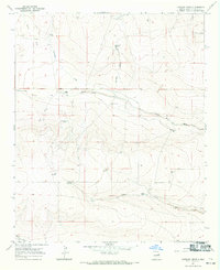
1967 Map of Lovelady Draw
USGS Topo · Published 1971About this map
Isolated cattle operations and water management systems define this high-plains landscape in De Baca County during the late 1960s. The map illustrates a reliance on sparse water sources, centered on named features like Cottonwood Well, Galloway Tank, and the perennial Lovelady Spring. Private ranching interests are well-represented by the Baker Ranch, Shirley Ranch, Gibbins Ranch, and Deck Ranch, which serve as the primary human landmarks in this vast drainage basin.
Find a feature on this map
28 named features on this map. Tap any name to fly to it.
Don’t see what you’re looking for? This feature index may not catch every label — zoom into the map to look around manually.
Map Details
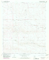
Editions of this 1967 Lovelady Draw Map
2 editions found
Other maps of this area

1954 · Fort Sumner
USGS Topo · 1:250,000

1955 · Roswell
USGS Topo · 1:250,000

1958 · Fort Sumner
USGS Topo · 1:250,000

1958 · Roswell
USGS Topo · 1:250,000

1962 · Roswell
USGS Topo · 1:250,000

1967 · Deering Place
USGS Topo · 1:24,000

1967 · Dunlap NE
USGS Topo · 1:24,000

1967 · Dunlap Sill
USGS Topo · 1:24,000

1967 · Conejo Creek West
USGS Topo · 1:24,000

1967 · Swallow Nest Canyon
USGS Topo · 1:24,000