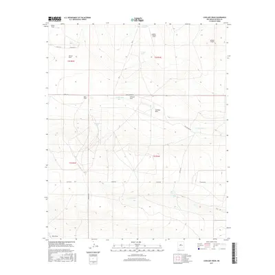
2017 Map of Lovelady Draw
USGS Topo · Published 2017About this map
Dunlap Ranch and the Double V Ranch Airport serve as the primary markers of human activity in this arid De Baca County landscape. The terrain is defined by a series of north-south drainage systems, most notably Lovelady Draw, Whites Draw, and Wylie Draw, which channel seasonal runoff toward the Pecos River valley to the west. Water remains the critical factor for ranching life here, represented by localized sources such as Lovelady Springs and man-made catchments like Galloway Tank and Short Tank. A sparse network of unpaved ranch roads, including the descriptively named Cowchip Rd and Pecos Diamond Rd, provides the only overland transit through these sprawling township sections. The topographic detail highlights the transition from flatter plateaus into deeper incisions like Wildcat Canyon in the northeast quadrant.
Find a feature on this map
24 named features on this map. Tap any name to fly to it.
Don’t see what you’re looking for? This feature index may not catch every label — zoom into the map to look around manually.
Map Details
Editions of this 2017 Lovelady Draw Map
This is the sole edition of this map. No revisions or reprints were ever made.
Other maps of this area

1954 · Fort Sumner
USGS Topo · 1:250,000

1955 · Roswell
USGS Topo · 1:250,000

1958 · Fort Sumner
USGS Topo · 1:250,000

1958 · Roswell
USGS Topo · 1:250,000

1962 · Roswell
USGS Topo · 1:250,000

1967 · Deering Place
USGS Topo · 1:24,000

1967 · Dunlap NE
USGS Topo · 1:24,000

1967 · Dunlap Sill
USGS Topo · 1:24,000

1967 · Conejo Creek West
USGS Topo · 1:24,000

1967 · Swallow Nest Canyon
USGS Topo · 1:24,000