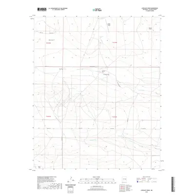
2020 Map of Lovelady Draw
USGS Topo · Published 2020About this map
Dunlap Ranch and the Double V Ranch Airport anchor this ranching landscape in De Baca County, where the topography is defined by the network of seasonal drainages. Water management is central to life in this arid region, evidenced by the presence of Galloway Tank, Short Tank, and the perennial Lovelady Springs. The terrain is carved by numerous draws, most notably Lovelady Draw, Gillespie Draw, and Whites Draw, which provide natural corridors through the high plains. A grid of rural roads, including Cowchip Rd, Horseshoe Rd, and Pecos Diamond Rd, connects these remote outposts and water sources, tracing the movement of livestock and people across the eastern New Mexico range.
Find a feature on this map
24 named features on this map. Tap any name to fly to it.
Don’t see what you’re looking for? This feature index may not catch every label — zoom into the map to look around manually.
Map Details
Editions of this 2020 Lovelady Draw Map
This is the sole edition of this map. No revisions or reprints were ever made.
Other maps of this area

1954 · Fort Sumner
USGS Topo · 1:250,000

1955 · Roswell
USGS Topo · 1:250,000

1958 · Fort Sumner
USGS Topo · 1:250,000

1958 · Roswell
USGS Topo · 1:250,000

1962 · Roswell
USGS Topo · 1:250,000

1967 · Deering Place
USGS Topo · 1:24,000

1967 · Dunlap NE
USGS Topo · 1:24,000

1967 · Dunlap Sill
USGS Topo · 1:24,000

1967 · Conejo Creek West
USGS Topo · 1:24,000

1967 · Swallow Nest Canyon
USGS Topo · 1:24,000