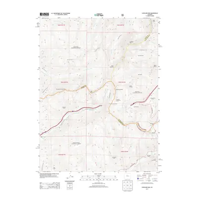
2013 Map of Loveland Pass
USGS Topo · Published 2013About this map
The Continental Divide defines the spine of this landscape at the high-altitude junction of Grand, Summit, and Clear Creek counties. This survey documents the critical transportation corridor of the Eisenhower Memorial Tunnel and the winding Loveland Pass Rd, illustrating how modern infrastructure navigates the Williams Fork Mountains. Recreation is central to the land use here, with the Arapaho Basin Ski Area and Loveland Ski Area occupying the steep slopes of the Arapaho National Forest and White River National Forest. For those tracing historical routes, the map details established paths such as Herman Gulch Trail 98 and the Ptarmigan Pass Trail 35, while significant summits like Pettingell Peak and Hagar Mountain mark the horizon.
Find a feature on this map
55 named features on this map. Tap any name to fly to it.
Don’t see what you’re looking for? This feature index may not catch every label — zoom into the map to look around manually.
Map Details
Editions of this 2013 Loveland Pass Map
This is the sole edition of this map. No revisions or reprints were ever made.
Other maps of this area

1924 · Montezuma
USGS Topo · 1:62,500

1924 · Fraser
USGS Topo · 1:62,500

1926 · Fraser
USGS Topo · 1:62,500

1926 · Montezuma
USGS Topo · 1:62,500

1929 · Dillon
USGS Topo · 1:62,500

1933 · Montezuma
USGS Topo · 1:62,500

1933 · Ute Peak
USGS Topo · 1:62,500

1934 · Dillon
USGS Topo · 1:62,500

1937 · Ute Peak
USGS Topo · 1:62,500

1953 · Denver
USGS Topo · 1:250,000