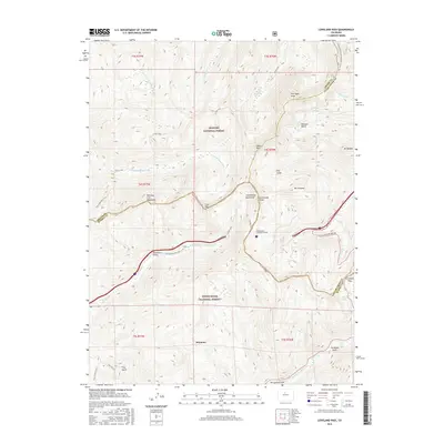
2016 Map of Loveland Pass
USGS Topo · Published 2016About this map
The Continental Divide bisects this high-elevation landscape, marking the boundary between the Arapaho National Forest and White River National Forest. At the southern edge of the survey lies the resort community of Keystone, situated near the confluence of the Snake River and N Fork Snake River. The topographic detail illustrates the dramatic verticality of the Williams Fork Mountains and peaks like Pettingell Peak and Mt Bethel.
Find a feature on this map
49 named features on this map. Tap any name to fly to it.
Don’t see what you’re looking for? This feature index may not catch every label — zoom into the map to look around manually.
Map Details
Editions of this 2016 Loveland Pass Map
This is the sole edition of this map. No revisions or reprints were ever made.
Other maps of this area

1924 · Montezuma
USGS Topo · 1:62,500

1924 · Fraser
USGS Topo · 1:62,500

1926 · Fraser
USGS Topo · 1:62,500

1926 · Montezuma
USGS Topo · 1:62,500

1929 · Dillon
USGS Topo · 1:62,500

1933 · Montezuma
USGS Topo · 1:62,500

1933 · Ute Peak
USGS Topo · 1:62,500

1934 · Dillon
USGS Topo · 1:62,500

1937 · Ute Peak
USGS Topo · 1:62,500

1953 · Denver
USGS Topo · 1:250,000