
1935 Map of Lovelock
USGS Topo · Published 1935About this map
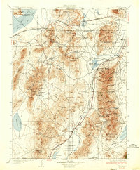
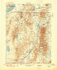
Lovelock serves as the focal point of this Nevada landscape, where the Humboldt River and the Southern Pacific Railroad converge in the desert basin. In the mid-1930s, the region was defined by a rugged mining economy and sparse pioneer settlements. Significant industrial operations are documented across the mountain ranges, including the Nevada Massachusetts Tungsten Mine in the north and the Rochester Mine near Lower Rochester. The map reveals the intricate network of the era, from the established town of Unionville to mining camps like Seven Troughs, Mazuma, and Tunnel Camp. Agricultural life is noted by the presence of the Upper Valley School and Lower Valley School, while the vast Black Rock Desert and Adobe Flat highlight the stark terrain. Transportation corridors such as the Victory Highway and U.S. Highway No 40 parallel the rail lines, tracing the paths of the Old Emigrant Road and Old Stage Road.
Find a feature on this map
124 named features on this map. Tap any name to fly to it.
Don’t see what you’re looking for? This feature index may not catch every label — zoom into the map to look around manually.
Map Details
Editions of this 1935 Lovelock Map
3 editions found
Other maps of this area

1882 · Paradise
USGS Topo · 1:250,000

1886 · Disaster
USGS Topo · 1:250,000

1886 · Granite Range
USGS Topo · 1:250,000

1889 · Long Valley
USGS Topo · 1:250,000

1890 · Wadsworth
USGS Topo · 1:125,000

1892 · Wadsworth
USGS Topo · 1:125,000

1893 · Paradise
USGS Topo · 1:250,000

1893 · Disaster
USGS Topo · 1:250,000

1894 · Granite Range
USGS Topo · 1:250,000

1894 · Wadsworth
USGS Topo · 1:125,000