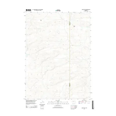
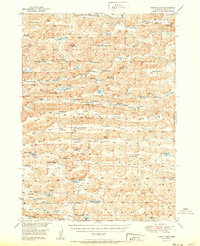
2014 Map of Lowe Valley
USGS Topo · Published 2014About this map
Lowe Valley and the surrounding Sandhills landscape are documented in this 2014 survey along the boundary of Sheridan County and Cherry County. The terrain is characterized by the complex topographic depressions of the Nebraska Sandhills, including Hospital Valley and the isolated waters of Granning Lake. These natural features dominate the area, which is sparsely crisscrossed by unimproved routes such as Trail Rd. The map illustrates the fundamental relationship between the region's unique geology and its minimal human footprint, showing how transportation routes follow the natural contours of the valleys and plateaus of the western Nebraska interior.
Find a feature on this map
5 named features on this map. Tap any name to fly to it.
Don’t see what you’re looking for? This feature index may not catch every label — zoom into the map to look around manually.
Map Details
Editions of this 2014 Lowe Valley Map
This is the sole edition of this map. No revisions or reprints were ever made.
Other maps of this area
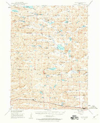
1948 · Ashby
USGS Topo · 1:62,500
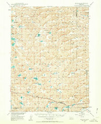
1948 · Bingham
USGS Topo · 1:62,500
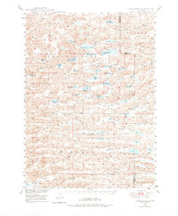
1948 · Spade Ranch
USGS Topo · 1:62,500
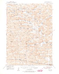
1949 · Ashby
USGS Topo · 1:62,500
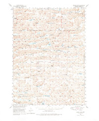
1949 · Turpin Lake
USGS Topo · 1:62,500
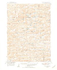
1950 · Spade Ranch
USGS Topo · 1:62,500
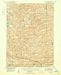
1950 · Bingham
USGS Topo · 1:62,500
1951 · Turpin Lake
USGS Topo · 1:62,500

1955 · Alliance
USGS Topo · 1:250,000

1957 · Alliance
USGS Topo · 1:250,000