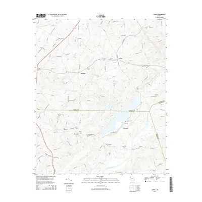
2014 Map of Lowell
USGS Topo · Published 2014About this map
The Chattahoochee River carves a significant course through this West Georgia landscape, marking the natural boundary where Carroll, Heard, and Coweta counties converge. The rural settlement of Lowell serves as a local hub, flanked by historic burying grounds including Mt Lowell Cem and New Lebanon Cem. To the west, the presence of Bonner Goldmine Rd hints at the region's earlier prospecting history, while the community of Glenloch is surrounded by a dense concentration of family and church landmarks such as Old Glenloch Cem and Watson Cem. Near the river, the village of Yellowdirt and the nearby Old Yellowdirt Cem sit close to the Georgia Power infrastructure, reflecting the intersection of legacy settlements and modern utility development. The terrain is defined by a web of creeks like Milligan Cr and Pink Cr, which shaped the placement of early crossings such as Webbs Ferry.
Find a feature on this map
111 named features on this map. Tap any name to fly to it.
Don’t see what you’re looking for? This feature index may not catch every label — zoom into the map to look around manually.
Map Details
Editions of this 2014 Lowell Map
This is the sole edition of this map. No revisions or reprints were ever made.
Other maps of this area

1889 · Tallapoosa
USGS Topo · 1:125,000

1891 · Marietta
USGS Topo · 1:125,000

1892 · Tallapoosa
USGS Topo · 1:125,000

1895 · Marietta
USGS Topo · 1:125,000

1897 · Marietta
USGS Topo · 1:125,000

1897 · Tallapoosa
USGS Topo · 1:125,000

1899 · Wedowee
USGS Topo · 1:125,000

1901 · Marietta
USGS Topo · 1:125,000

1902 · Wedowee
USGS Topo · 1:125,000

1953 · Atlanta
USGS Topo · 1:250,000