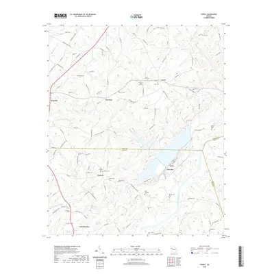
2020 Map of Lowell
USGS Topo · Published 2020About this map
The Chattahoochee River carves through the heart of this landscape along the border of Heard and Coweta counties, creating a focal point for the surrounding rural communities of Yellowdirt and Glenloch. The settlement patterns here are defined by a dense network of family and community burial grounds, reflecting the deep-rooted genealogical history of the region. Notable sites include the Old Yellowdirt Cem and the Summerlin - Pullen Cem near the riverbanks, as well as the dual markers of Glenloch Cem and Old Glenloch Cem further west.
Find a feature on this map
113 named features on this map. Tap any name to fly to it.
Don’t see what you’re looking for? This feature index may not catch every label — zoom into the map to look around manually.
Map Details
Editions of this 2020 Lowell Map
This is the sole edition of this map. No revisions or reprints were ever made.
Other maps of this area

1889 · Tallapoosa
USGS Topo · 1:125,000

1891 · Marietta
USGS Topo · 1:125,000

1892 · Tallapoosa
USGS Topo · 1:125,000

1895 · Marietta
USGS Topo · 1:125,000

1897 · Marietta
USGS Topo · 1:125,000

1897 · Tallapoosa
USGS Topo · 1:125,000

1899 · Wedowee
USGS Topo · 1:125,000

1901 · Marietta
USGS Topo · 1:125,000

1902 · Wedowee
USGS Topo · 1:125,000

1953 · Atlanta
USGS Topo · 1:250,000